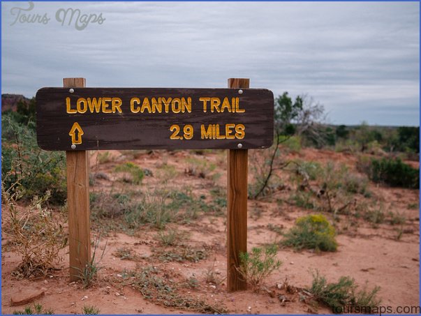
CAPROCK CANYONS STATE PARK MAP TEXAS
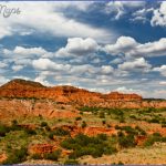
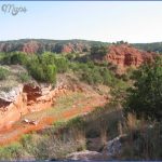
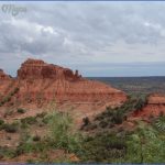
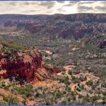
This state park in north-central Texas has an escarpment of white caprock, with steep bluffs and exposed red sandstone. There are canyons and badlands, woodlands, a 120-acre lake, some creeks, and two prongs of the Little Red River. Wildlife includes mule deer, wild sheep, coyote, and bobcat.
Activities: Hiking, backpacking, and horseback riding are possible on about 16 miles of trails. Fishing is also available.
Cam ping Regulations: Camping is restricted to two designated areas along the trails. Each area is about a mile from parking. Campfires are not allowed. A stove is recommended for cooking.
For Further Information: Caprock Canyons State Park, P.O. Box 204, Quitaque, TX 79255; (806)455-1492.
CAPROCK CANYONS STATE PARK MAP TEXAS Photo Gallery
Maybe You Like Them Too
- Arnold A Town with a Heart
- The Best Cities To Visit in The World
- World’s 10 Best Places To Visit
- Map of New York City – New York City Guide And Statistics
- Map of San Francisco – San Francisco Map Free

