Category: Travel
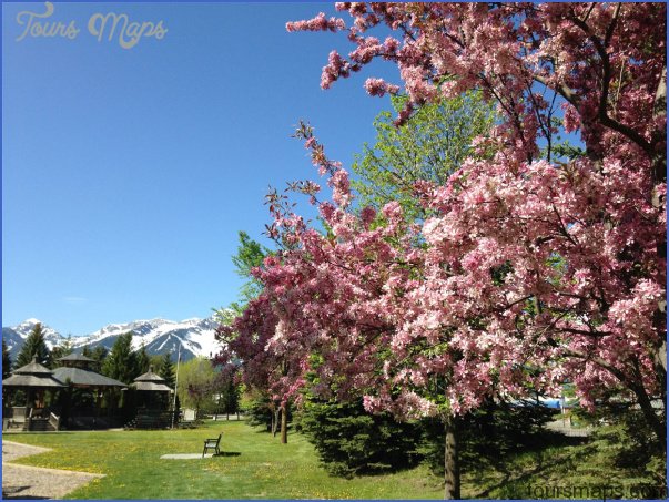
Rotary Park and Tourist Information Location: 4815-44th Avenue, Stony Plain. Enter the town along Hwy 779 (Range Road 10), which becomes 48th Street, and watch for the park’s double …
WIZARD LAKE JUBILEE PARK MAP EDMONTON Directions: Exit Edmonton on Hwy 2 south, take exit 517 to reach Hwy 39 west heading toward Drayton Valley/Calmar; drive through Calmar (50th …
DRAYTON VALLEY MAP EDMONTON Directions: Exit Edmonton on Hwy 16 west, take the Hwy 22 south exit toward Drayton Valley and Entwistle, keep left at the fork, and follow …
COYOTE LAKE NATURAL AREA MAP EDMONTON Directions: Exit Edmonton on Hwy 2 south. Turn west on Hwy 39 towards Calmar. Continue west when the road becomes Hwy 622, then …
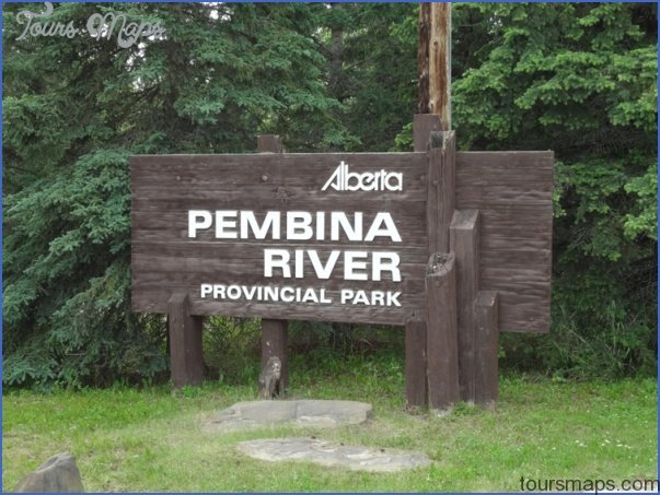
PEMBINA RIVER PROVINCIAL PARK MAP EDMONTON Directions: Exit Edmonton on Hwy 16 west; take the Hwy 22 (Range Road 74) exit toward Entwistle. At the fork, stay right and …
VEGREVILLE MAP EDMONTON Directions: Exit Edmonton on Hwy 16 east, and access the town via the Hwy 16A east exit toward Vegreville. Distance: 102 km, or about 1 hour …
SEBA BEACH MUSEUM AND HERITAGE WALL MAP EDMONTON Directions: Exit Edmonton on either Hwy 16 or 16A west, and head south on Hwy 759 (Range Road 60) to reach …
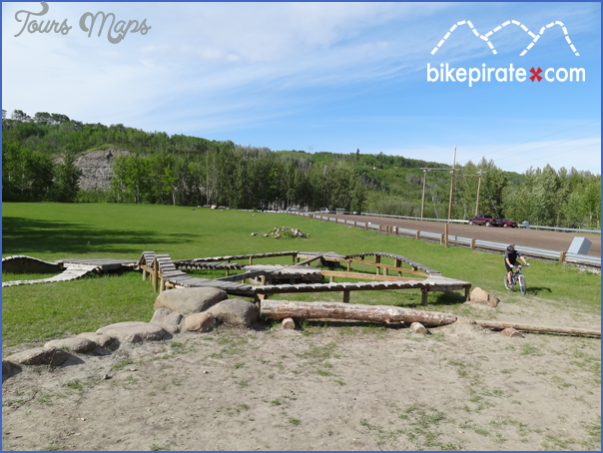
Devon Voyageur Park and Riverview Mountain Bike Skills Park Map Location: From Hwy 60 in Devon, turn east on Athabasca Avenue, turn north on Superior Street, and west on …
MAYERTHORPE MAP EDMONTON Directions: Exit Edmonton on Hwy 16 west, then take Hwy 43 north. Distance: 137 km, or about 1 hour and 34 minutes, from Edmonton. Info: www. …
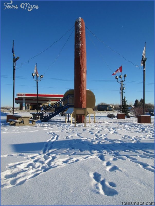
MUNDARE MAP EDMONTON Directions: Exit Edmonton on Hwy 16 east and turn left at Hwy 15. Distance: 84.1 km, or about 57 minutes, from Edmonton. Info: www.mundare.ca. An especially …