Category: Travel
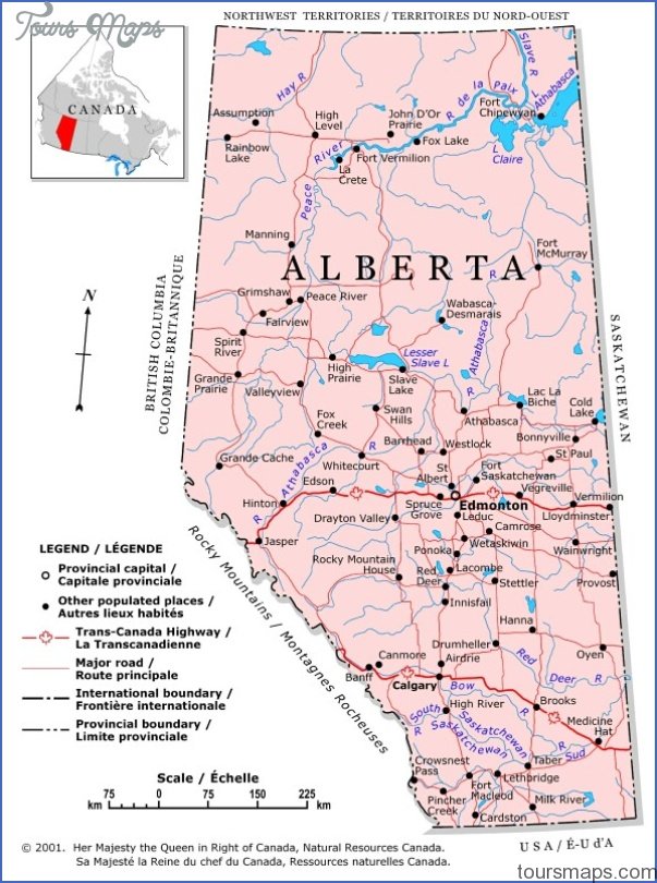
EDSON MAP EDMONTON Directions: Exit Edmonton on Hwy 16 west. Distance: 202 km, or about 2 hours and 15 minutes, from Edmonton. Info: www.townofedson.ca. The town of Edson marks …
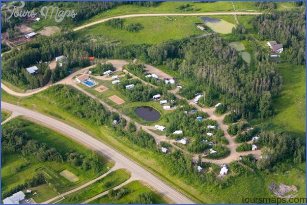
Lions Campground (Pat O’Brien Memorial Park) MAP EDMONTON Location: From Hwy 60, turn into Devon at Athabasca Avenue, continue straight at the four-way stop, turn left onto Pidgeon Street, …
Black Nugget Lake Map Edmonton Location: 49117 Range Road 182. From Tofield, take Hwy 14 east approximately 11 km, then turn south onto Range Road 182 and drive 12 …
BRETON MAP EDMONTON Directions: Exit Edmonton on Hwy 2 south, take exit 517 for Hwy 39 west toward Drayton Valley, merge onto Hwy 39, and turn left at Hwy …
ARLENE SHWETZ EDMONTON 1906 Methodist church, Victoria Settlement Provincial Historic Site Metis Crossing Location: 13 km south of Smoky Lake, at the intersection of Hwy 855 and Victoria Trail. …
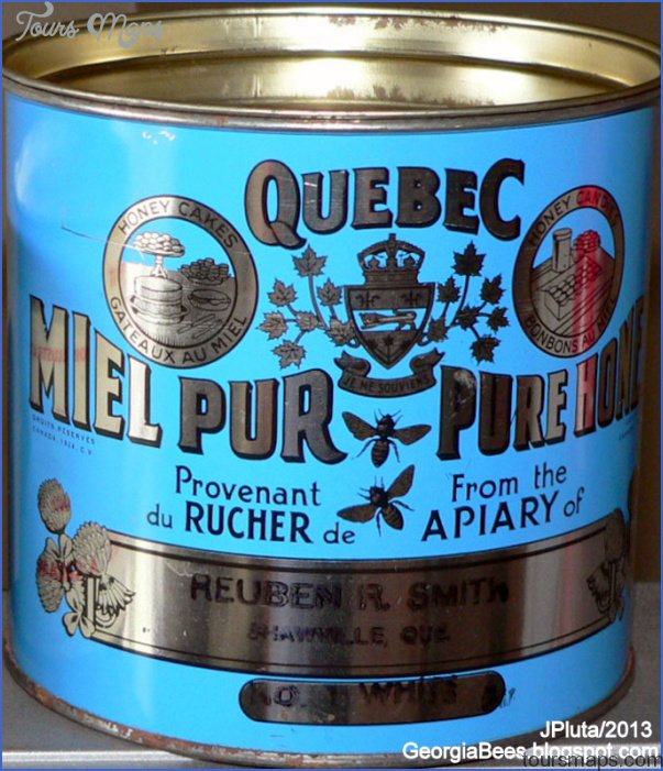
Alberta Honey Producers Coop Map Edmonton Location: 70 Alberta Avenue, Spruce Grove. From Hwy 16A, turn south on Golden Spike Road and turn west at the first turn onto …
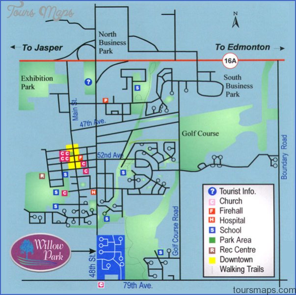
Stony Plain and Parkland Pioneer Museum Map Edmonton Location: 5120-41st Avenue, Stony Plain. Enter through the south Exhibition Park gates, and drive to the south end of the park. …
LEDUC MAP EDMONTON Directions: Exit Edmonton on Hwy 2 south, and choose exit 519 to Leduc. Distance: 35.4 km, or about 37 minutes, from Edmonton. Info: 780-986-5454; www.leduc.ca. Leduc’s …
Ribstones Historic Site Location: About 13 km from Viking. Exit Viking on Hwy 14 east, drive 11 km, then watch the road’s south side for a sign describing the …
COURTESY BEAVERHILL BIRD OBSERVATORY MAP EDMONTON Mountain Bluebird, Beaverhill Lake Natural Area Beaverhill Lake Nature Centre and Tofield Museum, Location: 5020-48th Avenue, Tofield. Exit Hwy 14 and take the …