Category: USA
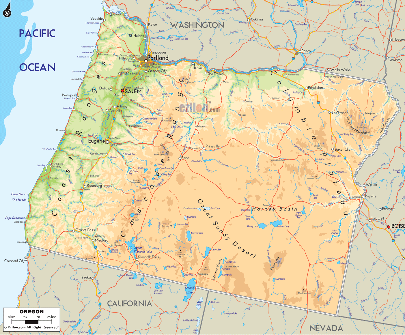
OREGON BEST AREAS FOR WILDERNESS CAMPING WALLOWA-WHITMAN NATIONAL FOREST 2,383,159 acres. This major National Forest consists of two huge tracts in northeast Oregon, along with some lands in western …
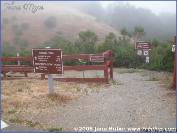
HENRY COE STATE PARK MAP CALIFORNIA 67,000 acres. Located southeast of San Jose in the west-central part of the state, this is California’s second largest state park. It has …
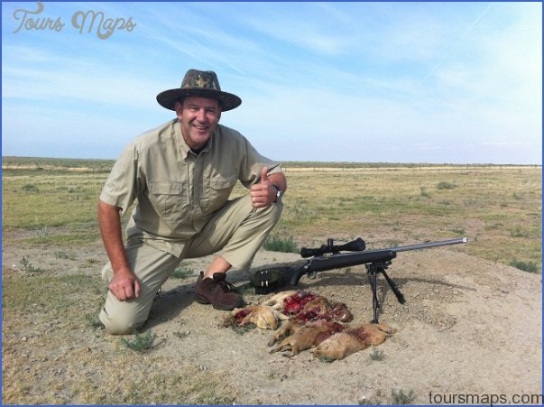
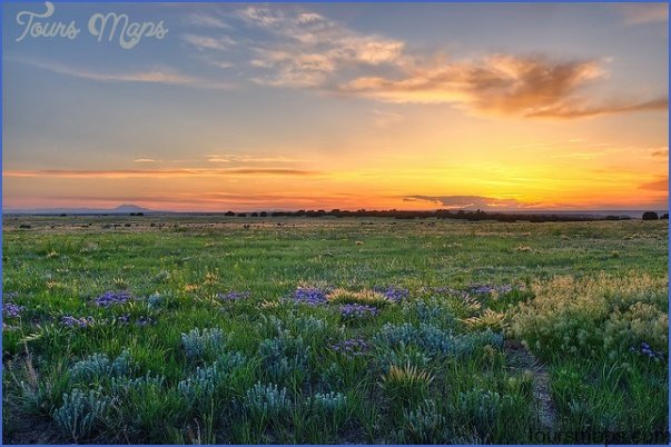
PAWNEE NATIONAL GRASSLANDS MAP COLORADO 193,000 acres. Administered by Arapaho and Roosevelt National Forests, Pawnee National Grasslands is made up of two units in northeast Colorado. It’s an area …
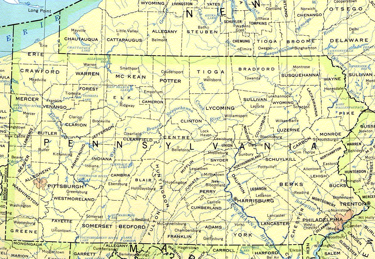
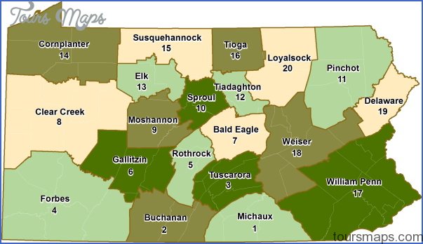
Travel to Pennsylvania TIADAGHTON STATE FOREST 204,600 acres. This state forest consists of several tracts of land on both sides of the Susquehanna River, in north-central Pennsylvania. Included here …
COMANCHE NATIONAL GRASSLANDS MAP COLORADO 419,000 acres. Administered by Pike and San Isabel National Forests, and consisting of two large tracts in southeastern Colorado, this is a relatively flat …
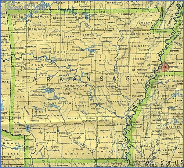
MAP OF ARKANSAS OZARK NATIONAL FOREST 1,300,000 acres. Located in the Ozarks of northwest Arkansas, this National Forest consists of a huge tract which is surrounded by five smaller …
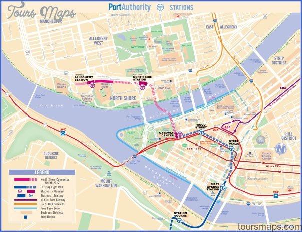
Pennsylvania Subway Map BALD EAGLE STATE FOREST 195,624 acres. This state forest in central Pennsylvania encompasses some 2,300-foot sandstone ridges, with rock outcroppings, talus slopes, and valleys with many …
CLEAR CREEK STATE MAP PENNSYLVANIA 10,000 acres. Clear Creek State Forest is made up of several units in northwest Pennsylvania, including lands adjacent to Allegheny National Forest and along …
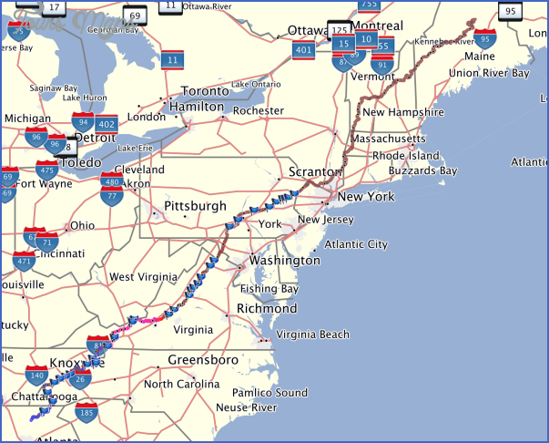
APPALACHIAN TRAIL MAP PENNSYLVANIA 230 miles in Pennsylvania (2,100 total). This important National Scenic Trail enters Pennsylvania from Maryland, crosses the southeastern part of the state, and exits into …
CONTINENTAL DIVIDE TRAIL COLORADO This major National Scenic Trail hasn’t yet been officially designated in Colorado, but a marked interim route exists in three of the state’s National Forests. …
