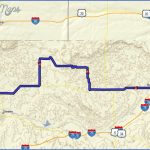
PAWNEE NATIONAL GRASSLANDS MAP COLORADO
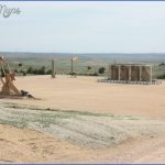
193,000 acres. Administered by Arapaho and Roosevelt National Forests, Pawnee National Grasslands is made up of two units in northeast Colorado. It’s an area of shortgrass prairie, with low sandstone buttes amid the flat plains. Wildlife includes deer, antelope, coyote, and fox.
Activities: Backpacking, hiking, and horseback riding are possible throughout the region. Due to the scarcity of trails, most travel is cross-country. Fishing is available, and hunting is permitted in season.
Camping Regulations: Camping is allowed throughout the National Grasslands, as are campfires, except where otherwise prohibited. Permits are not required.
For Further Information: Pawnee National Grasslands, 240 West Prospect Road, Fort Collins, CO 80526; (303)498-1100.
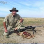
PAWNEE NATIONAL GRASSLANDS MAP COLORADO Photo Gallery
Maybe You Like Them Too
- Arnold A Town with a Heart
- The Best Cities To Visit in The World
- World’s 10 Best Places To Visit
- Map of New York City – New York City Guide And Statistics
- Map of San Francisco – San Francisco Map Free

Hello, after reading this amazing paragraph i am as well delighted to share
my know-how here with mates.