COMANCHE NATIONAL GRASSLANDS MAP COLORADO
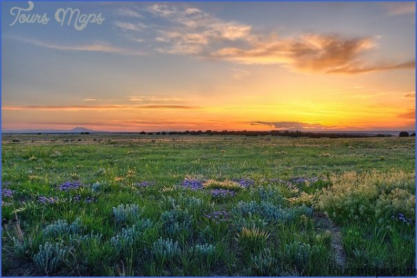
419,000 acres. Administered by Pike and San Isabel National Forests, and consisting of two large tracts in southeastern Colorado, this is a relatively flat area of prairie grasslands, with some rivers and canyons. Wildlife includes white-tailed and mule deer, pronghorn, black bear, mountain lion, and fox.
Activities: Hiking, backpacking, and horseback riding are allowed, but there are few established trails aside from a section of the Sante Fe National Historic Trail. Most travel must be cross-country. Hunting and fishing are permitted in season.
Camping Regulations: Camping and campfires are allowed throughout the National Grasslands, except where posted otherwise. No permits are required.
For Further Information: Comanche National Grasslands, 27162 Highway 287, P.O. Box 127, Springfield, CO 81073; (719)523-6591.
COMANCHE NATIONAL GRASSLANDS MAP COLORADO Photo Gallery
Maybe You Like Them Too
- Arnold A Town with a Heart
- The Best Cities To Visit in The World
- World’s 10 Best Places To Visit
- Map of New York City – New York City Guide And Statistics
- Map of San Francisco – San Francisco Map Free