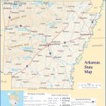
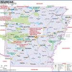
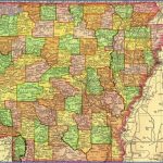
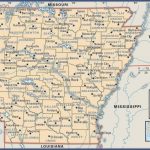
MAP OF ARKANSAS
OZARK NATIONAL FOREST
1,300,000 acres. Located in the Ozarks of northwest Arkansas, this
National Forest consists of a huge tract which is surrounded by five smaller areas. Some of the terrain is rugged. Included are high rocky bluffs with scenic vistas, caves and caverns, lakes and streams with waterfalls. The highest elevation in the state, 2,823-foot Mount Magazine, is located here. Among the wildlife are black bear and deer.
There are five designated wilderness areas: the 11,094-acre Upper Buffalo Wilderness, with the headwaters of the Buffalo National River, the 10,700-acre East Fork Wilderness, the 15,100-acre Hurricane Creek Wilderness, the 16,900-acre Leatherwood Wilderness, and the 11,800-acre Richland Creek Wilderness.
Activities: Hiking and backpacking are available on over 220 miles of trails, including a 160-mile section of the Ozark Highlands Trail (see entry page 98), the 22-mile Mount Magazine Trail, and the 15-mile North Sylamore Creek Trail.
There are also some horse trails. Canoeing is possible on five rivers in the National Forest, with canoe rentals available nearby, and some rivers are suitable for rafting. Hunting is permitted in season. Fishing is another option.
Camping Regulations: Camping and campfires are allowed almost anywhere, except near public recreation areas or where posted otherwise. No permits are needed.
For Further Information: Ozark National Forest, P.O. Box 1008, 605 West Main, Russellville, AR 72801;(501)968-2354.
MAP OF ARKANSAS Photo Gallery
Maybe You Like Them Too
- Arnold A Town with a Heart
- The Best Cities To Visit in The World
- World’s 10 Best Places To Visit
- Map of New York City – New York City Guide And Statistics
- Map of San Francisco – San Francisco Map Free

