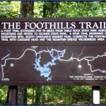
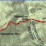
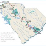
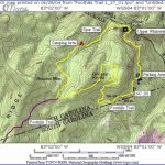
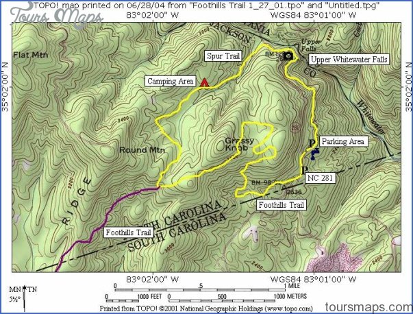
FOOTHILLS TRAIL MAP SOUTH CAROLINA
75 miles. This National Recreation Trail is South Carolina’s longest trail. It runs from Oconee State Park to Table Rock State Park, crossing the area north of 7,656-acre Lake Jocassee, in the northwest corner of the state. A spur trail connects it to Caesars Head State Park.
A section of the trail is in Sumter National Forest, and it also enters North Carolina’s Nantahala National Forest. Fully half of the trail is on Duke Power Company lands. Some of the area’s terrain is rugged, and the scenery often outstanding.
‘The trail crosses a number of rivers and passes near the upper part of 800-foot Whitewater Falls, a series of cascades and falls, said to be the highest in the East. Difficulty ranges from easy to strenuous. Horses and mountain bikes are not allowed on the trail.
Camping Regulations: A number of designated campsites are available along the trail. On some sections camping is allowed elsewhere as well, although sites should be at least 100 feet from the trail and preferably out of sight. In the state parks and Sumter National Forest, camping and campfires are restricted to established sites. No permits are necessary.
For Further Information: Foothills Trail Conference, P.O. Box 3041, Greenville, SC 29602. A trail guidebook with maps is available from this organization.
SOUTH CAROLINA CAMPING RESOURCES
ORGANIZATIONS WHICH OFFER WILDERNESS CAMPING TRIPS
Sierra Club, South Carolina Chapter, P.O. Box
12112, Columbia, SC 29211; (803)256-8487. This Sierra Club chapter offers backpacking, canoe camping, and other wilderness camping trips. Included are trips for beginners.
USEFUL GUIDEBOOKS
Guide to the Foothills TrailGreenville, SC: The Foothills Trail Conference, 1988.
South Carolina Hiking Trailsde Hart, Allen. Charlotte, NC: The East Woods Press, 1984.
INFORMATION ABOUT CAMPGROUNDS IN STATE
PARKS
South Carolina Division of State Parks, Edgar Brown Building, 1205 Pendleton Street, Columbia, SC 29201; (803)734-0156.
STATE HIGHWAY MAP AND TRAVEL INFORMATION
South Carolina Division of Tourism, Box 71, Columbia, SC 29202; (803)734-0235.
FOOTHILLS TRAIL MAP SOUTH CAROLINA Photo Gallery
Maybe You Like Them Too
- Arnold A Town with a Heart
- The Best Cities To Visit in The World
- World’s 10 Best Places To Visit
- Map of New York City – New York City Guide And Statistics
- Map of San Francisco – San Francisco Map Free

