Category: Vacations
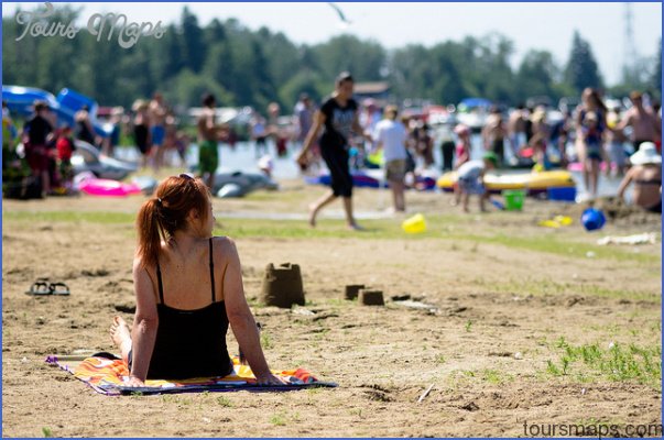
WABAMUN LAKE PROVINCIAL PARK MAP EDMONTON Directions: Exit Edmonton on either Hwy 16 or 16A west, take the Hwy 30 (Range Road 35) exit, and turn left onto Hwy …
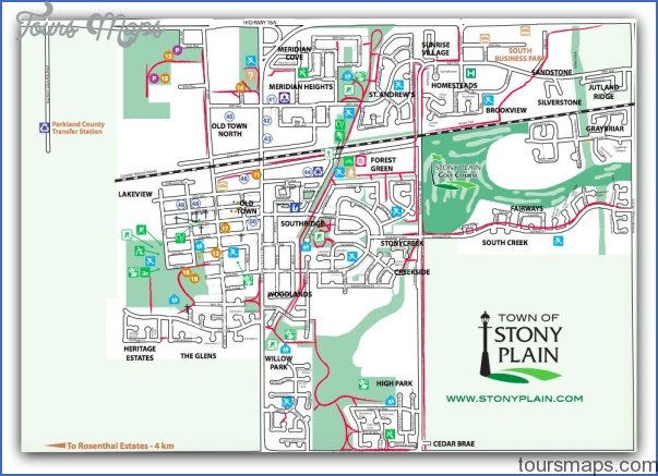
STONY PLAIN MAP EDMONTON Directions: Exit Edmonton from either Hwy 16 or 16A west, and take the Stony Plain exit onto Hwy 779 (Range Road 10), which becomes 48th …
PIGEON LAKE MAP EDMONTON Directions: Exit Edmonton on Hwy 2 south. Take exit 482B to reach Hwy 13 (west). Distance: 88 km, or about 1 hour and 8 minutes, …
Rotary Park and Tourist Information Location: 4815-44th Avenue, Stony Plain. Enter the town along Hwy 779 (Range Road 10), which becomes 48th Street, and watch for the park’s double …
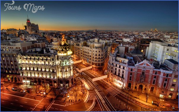
Madrid Travel Destinations SIGHTS Madrid, large as it may seem, is a walker’s city. Its fantastic public transportation system should only be used for longer distances, or between the …
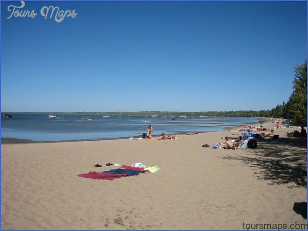
WIZARD LAKE JUBILEE PARK MAP EDMONTON Directions: Exit Edmonton on Hwy 2 south, take exit 517 to reach Hwy 39 west heading toward Drayton Valley/Calmar; drive through Calmar (50th …
DRAYTON VALLEY MAP EDMONTON Directions: Exit Edmonton on Hwy 16 west, take the Hwy 22 south exit toward Drayton Valley and Entwistle, keep left at the fork, and follow …
COYOTE LAKE NATURAL AREA MAP EDMONTON Directions: Exit Edmonton on Hwy 2 south. Turn west on Hwy 39 towards Calmar. Continue west when the road becomes Hwy 622, then …
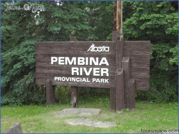
PEMBINA RIVER PROVINCIAL PARK MAP EDMONTON Directions: Exit Edmonton on Hwy 16 west; take the Hwy 22 (Range Road 74) exit toward Entwistle. At the fork, stay right and …
VEGREVILLE MAP EDMONTON Directions: Exit Edmonton on Hwy 16 east, and access the town via the Hwy 16A east exit toward Vegreville. Distance: 102 km, or about 1 hour …