Category: Vacations
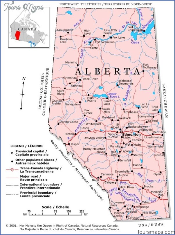
SEBA BEACH MUSEUM AND HERITAGE WALL MAP EDMONTON Directions: Exit Edmonton on either Hwy 16 or 16A west, and head south on Hwy 759 (Range Road 60) to reach …
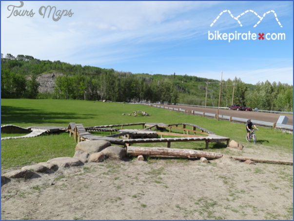
Devon Voyageur Park and Riverview Mountain Bike Skills Park Map Location: From Hwy 60 in Devon, turn east on Athabasca Avenue, turn north on Superior Street, and west on …
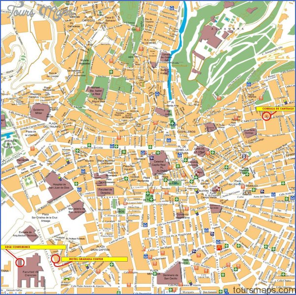
Granada Map EL GENERALIFE. Over a bridge, across the Callejon de los Cipreses and the shady Callejon de las Adelfas, are the vibrant blossoms, towering cypresses, and streaming waterways …
MAYERTHORPE MAP EDMONTON Directions: Exit Edmonton on Hwy 16 west, then take Hwy 43 north. Distance: 137 km, or about 1 hour and 34 minutes, from Edmonton. Info: www. …
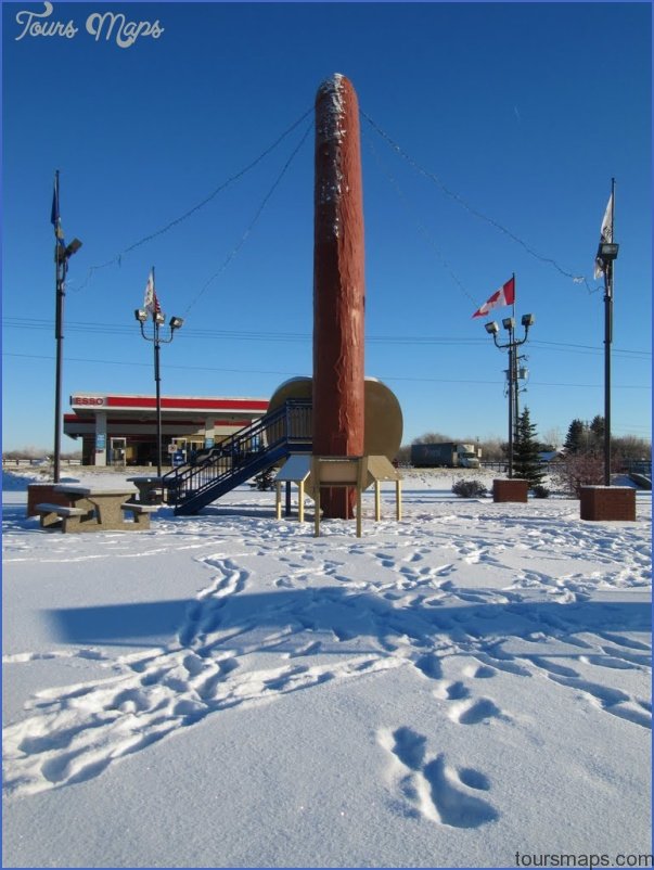
MUNDARE MAP EDMONTON Directions: Exit Edmonton on Hwy 16 east and turn left at Hwy 15. Distance: 84.1 km, or about 57 minutes, from Edmonton. Info: www.mundare.ca. An especially …
EDSON MAP EDMONTON Directions: Exit Edmonton on Hwy 16 west. Distance: 202 km, or about 2 hours and 15 minutes, from Edmonton. Info: www.townofedson.ca. The town of Edson marks …
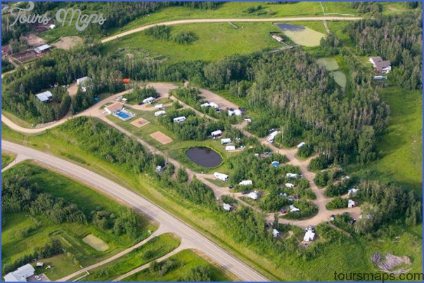
Lions Campground (Pat O’Brien Memorial Park) MAP EDMONTON Location: From Hwy 60, turn into Devon at Athabasca Avenue, continue straight at the four-way stop, turn left onto Pidgeon Street, …
MILLET MAP EDMONTON Directions: Exit Edmonton on Hwy 2 (south); take exit S16 to reach Hwy 2A toward Wetaskiwin, which becomes Hwy 616 into Millet. Distance: 54 km, or …
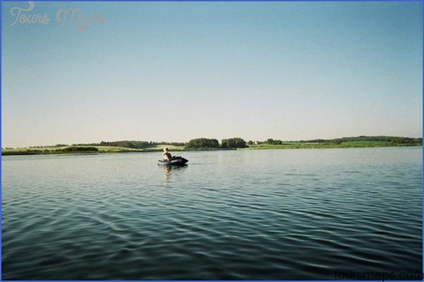
Hasse Lake Map Edmonton Location: 14.4 km from Stony Plain. Exit Stony Plain on Hwy 628 west. Info: Horses and motorized vehicles are not allowed on trails. This 121-hectare …
Black Nugget Lake Map Edmonton Location: 49117 Range Road 182. From Tofield, take Hwy 14 east approximately 11 km, then turn south onto Range Road 182 and drive 12 …