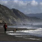
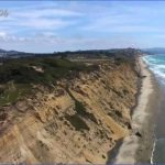
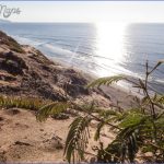
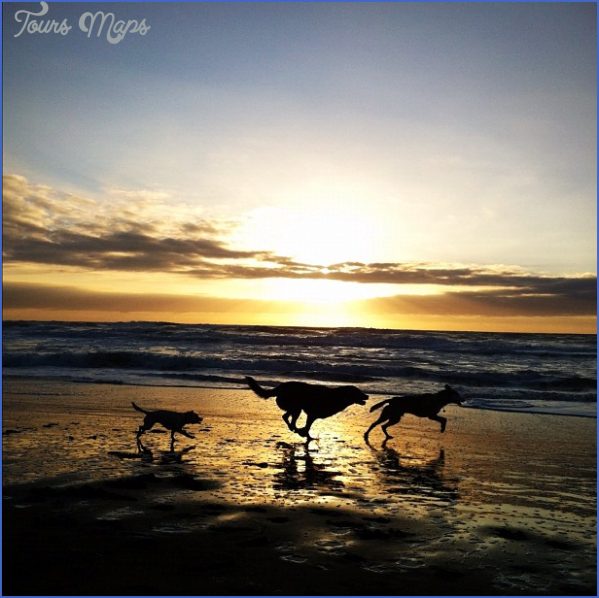
What’s Best: Coastal bluffs above a wild beach, where hang gliders soar. And, the tranquil paths of huge Lake Merced, sitting right next to the city’s fine zoo.
Parking:For Fort Funston: From Hwy. 1, which is 19th Ave, go west on Sloat Blvd, which is Hwy. 35. Just past Sunset Blvd, veer left on Skyline Blvd, which is the continuation of Hwy. 35. Continue on Hwy. 35 about a mile past the jct. with the Great Highway and turn right into the Fort Funston parking area. For Lake Merced: From Sloat Blvd, go left on Skyline Blvd, which is the continuation of Hwy. 35. After .25 ml. on Skyline, veer left on Lake Merced Blvd. and park immediately at curb on right. For San Francisco Zoo: Continue west on Sloat Blvd, past the intersection with Skyline Blvd. You’ll see on-street diagonal parking on your left beginning near 45th Ave. Agency: Golden Gate National Recreation Area; San Francisco Recreation and Park Department
Fort Funston
Fort Funston to: Sunset loop-Battery Davis (1 ml.), or Sand Ladder Hike: Trail to beach (.5 ml. or more); Lake Merced-North lakes loop (1.75 ml.)
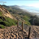
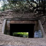
Fort Funston: For all Fort Funston hikes, take right fork as you enter, driving toward the main parking area. Park at the far left side of the lot. An observation deck is a short walk away. The deck is suspended about 200 feet above the water, affording a view of Ocean Beach and the rugged coastline to the south. You can also watch hang gliders from here, but stay clear of landing and take-off areas. For the Sunset loop, take the marked trail that begins to the right of the observation deck. The trail ascends slightly, over dunes typical of San Francisco’s original terrain, to Battery Davis. You’ll see two large tunnels punched through the hill. Funston’s bluffs have seen defense installations in World Wars I and II, as well as missile silos during the Cold War. Go through the tunnel farthest from the trailhead, and turn left on the sandy path that leads back. Be aware: The bluffs at Fort Funston are unstable and dangerous; some areas are off-limits.
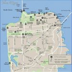
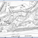
FORT FUNSTON MAP SAN FRANCISCO Photo Gallery
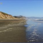
For the Sand Ladder Trail, walk to the left of the observation deck. After crossing the flat sand, you make a steep walk down, aided by rough-hewn stairs, coming to where the miles of sand of Ocean Beach transition to rugged cliffs southward. Going south on the beach is limited due to cliffs, but during low surf and tides you can walk more than a mile to Thornton State Beach. Going north, you can walk the four-plus miles of Ocean Beach. Be aware: High tides and large surf can make beach walks in this area dangerous, particularly going south.
Lake Merced: The North lakes loop is a pleasant stroll around the lake under cypress trees and through the golf course. Begin at the Lake Merced parking described above. As you face the lake, go to your left on the multi-use path, which is part of the Bay Area Ridge Trail. After about .25-mile, depending on where you parked, walk to your right, down a ramp and stairs that lead to an isthmus between the two, smaller portions of Lake Merced. At lake level, walk across the bridge and then up the stairs to the Harding Park golf clubhouse. From the clubhouse, follow Harding Road, passing the boating and recreation area, back to the multi-use path.
Walk: The San Francisco Zoo is revamped its already popular park, creating natural habitats and educational experiences. If it’s been a while, or you’ve never visited the zoological park, you will be surprised at its new facilities. Admission is charged.
Bike: The multi-use path runs for about 4.5 miles around Lake Merced, most of it part of a 30-mile City Loop as mapped by the San Francisco Bicycle Coalition. You can extend the Lake Merced loop, and get great coastal view, by jogging south on Skyline Boulevard at the west shore of Lake Merced. From Skyline, enter Fort Funston. A bike path leads over the top of Battery Davis and drops down to the north at the Great Highway. Turn right on the Great Highway, back to Skyline, where you cross and pick up the multi-use path that leads around the lakes. Be Aware: Skyline Boulevard and the Great Highway are high-speed traffic areas.
Maybe You Like Them Too
- Arnold A Town with a Heart
- Map of New York City – New York City Guide And Statistics
- Map of San Francisco – San Francisco Map Free
- Coolest Countries in the World to Visit
- The 10 Best American National Parks to Visit

