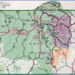
CUSTER STATE PARK MAP SOUTH DAKOTA
73,000 acres. Custer State Park is located in southwest South Dakota, adjacent to Black Hills National Forest. Portions of the park are mountainous, and there are also areas of
rolling prairie grasslands. Highest point is 6,023-foot Mount Coolidge.
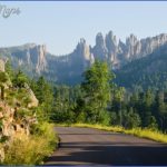
Some of the more rugged terrain includes steep mountain ridges, rock pinnacles and formations, and deep canyons. An area of special scenic interest in the park is the 2,200-acre French Creek Natural Area.
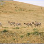
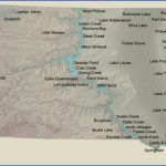
There are also four lakes, a number of creeks, forests of ponderosa pine, and some hardwoods. Among the wildlife are bison, elk, bighorn sheep, pronghorn antelope, and deer.
Activities: Hiking and backpacking are possible on over 50 miles of trails, including 22 miles of the 111-mile Centennial Trail (see entry to right). Difficulty varies from easy to strenuous. Horseback riding is allowed on many trails. Rock climbing is popular on the granite pinnacles here. Fishing is available, and hunting is permitted in season.
Camping Regulations: Camping is restricted to two designated areas in the French Creek Natural Area. It’s necessary to register at the visitor center before starting out. The number of campers allowed to use each area is limited.
A nominal fee is charged for camping each night, and a park entrance license fee must also be paid. Campfires are permitted only in the firegrates provided at the two camping areas.
For Further Information: Custer State Park, HC 83, Box 70, Custer, SD 57730; (605)255-4515.
CUSTER STATE PARK MAP SOUTH DAKOTA Photo Gallery
Maybe You Like Them Too
- Arnold A Town with a Heart
- The Best Cities To Visit in The World
- World’s 10 Best Places To Visit
- Map of New York City – New York City Guide And Statistics
- Map of San Francisco – San Francisco Map Free

