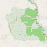
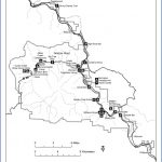
HUMBOLDT REDWOODS STATE PARK MAP CALIFORNIA
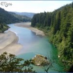
51,000 acres. Located close to the coast of northern California, this sizable state park has low ridges, prairies, a stretch of the Eel River, and the largest stands of old-growth redwoods to be found anywhere. Some of the trees are over 300 feet high. There are also forests of Douglas fir and oak, and mule deer are among the wildlife.
Activities: More than 100 miles of trails are available for hiking and backpacking. Horseback riding is possible on a number of old roads. Fishing is feasible along the river.
Camping Regulations: There are five trail camps for backpackers. Camping is restricted to these areas. Advance registration is required, and a small fee is charged for camping each night.
For Further Information: Humboldt Redwoods State Park, P.O. Box 100, Weott, CA 95571; (707)946-2311.
HUMBOLDT REDWOODS STATE PARK MAP CALIFORNIA Photo Gallery
Maybe You Like Them Too
- Arnold A Town with a Heart
- The Best Cities To Visit in The World
- World’s 10 Best Places To Visit
- Map of New York City – New York City Guide And Statistics
- Map of San Francisco – San Francisco Map Free

