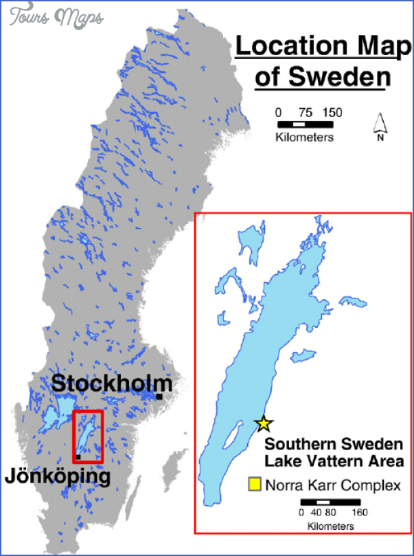
Provinces: Skaraborgs Ian, Ostergotlands Ian, Orebro Ian, Jonkbpings Ian.
Regions: Vastergotland, Ostergotland, Narke, Smaland
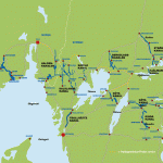
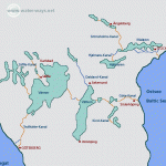
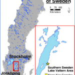
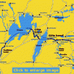
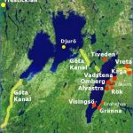
Lake Vattern, Sweden’s second largest lake (length 130 km (80 miles), greatest width 30 km 20 miles), extends through four regions Ostergotland, Vastergotland, Narke and Smaland. Its water is so clear that the bottom can be seen at depths of up to 10 m (30 ft). The surface appears green as a result of the reflection of light from the sandy bottom.
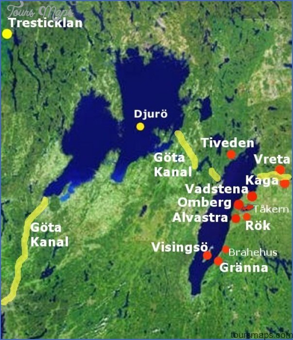
The clarity of the water is due to the fact that the lake is fed partly by springs and partly by water from mountain streams, which is purified by passing over gavel. In general, however, the lake is of considerable depth an average of 40 m (130 ft), reaching as much as 128 m (420 ft) at the deepest spots around Visingso. This great mass of water stores so much heat that the lake does not freeze until late in the year rarely before New Year, and in many years not at all. On the other hand, it is slow to warm up in summer. The colder water on the bottom is ideal for many species offish, including the Vattern salmon (a species of trout).
40 km (25 miles) NE of Jonkoping (146) is Granna (pop. 2200; Vatterleden Motell, 111 Orensbaden, 80 b.), one of Ruins of Brahehus Castle on Lake Vattern the few towns with old wooden houses which have not been devastated by fire. With its charming old-world architecture and its beautiful setting on Lake Vattern, at the foot of the Grannaberg, it has become a popular tourist resort.
The town was founded by Per Brahe the Younger, who laid out the main street, Brahegatan, in 1652 in such a way that he could view it from his castle of Brahehus (now a ruin). He also built the Town Hall with its bell-tower and enlarged the medieval church though at that time there were no more than ten houses in the town. The church, now a handsome Baroque edifice, stands above the town at the foot of the hill. In the cobbled market square is the Medborgargard, a community hall. In the Museigird is the Andree Museum, commemorating the engineer and Arctic explorer, S. Andree, a native of the town, who was lost during an attempt to fly in a balloon in 1897 from Spitzbergen to the North Pole.
27 km (17 miles) N of Granna, at Odeshog, Road 50 turns off on the left, running at some distance from the lake, and in 8 km (5 miles) reaches Alvastra where there are the ruins of a Cistercian abbey (founded in 1143), at the foot of the Omberg, a ridge of hills 10 km (6 miles) long which is wooded at the E end and descends steeply to Lake Vattern in the W (Hjassan, 263 m (863 ft); footpath 500 m (550yds) long; lookout). 6 km (4 miles) farther on, to the right, is Iaver-sunda, with a 12th c. church. To the E lies Lake Takern, the haunt of numerous birds, which features in Selma Lagerlof’s Adventure of Little Nils Holgersson and Bengt Berg’s animal stories. 17 km (10 miles) farther N we come to Vadstena (pop. 5300; Klosters Gasthem, 54 Kungs Starby, 31 b.), a town noted for its lace making, which owes its origin to St Birgitta (Bridget). Birgitta was principal lady-in-waiting at the court of King Magnus Eriksson and Queen Blanka, but withdrew from the court after receiving a revelation, and in 1346, was granted the property of KungsgSrden for the foundation of an abbey. The abbey was not completed until 1379, after her death. Birgitta was canonised in 1394, and her order spread widely. The little settlement of Vadstena rose to importance as a place of pilgrimage and as a market town and was granted its municipal charter in 1400. After the Reformation, Vadstena declined; in more recent times it has gained importance as a tourist attraction.
Beside the harbour is’Vadstena Castle, a Renaissance structure built by Gustavus Vasa in the 16th c. and later altered and enlarged by his son, Johan III, and his grandson Duke Johan. The high curtain walls along the lake front were razed to supply stone for the construction of the harbour pier.
To the N of the castle is the Blue Church (BISkyrkan), so named because of the colour of the limestone of which it is built. This was the abbey church. Carefully restored in 1898, it has a beautiful interior, with the reliquary shrine of St Birgitta and St Birgitta s Altar, by a Liibeck master (1459). Most of the nuns’ convent building has been preserved, together with a more modest building to the S for the monks. Gustavus Adolphus converted the abbey into a home for old and wounded soldiers and the monks’ quarters into the commandant’s residence.
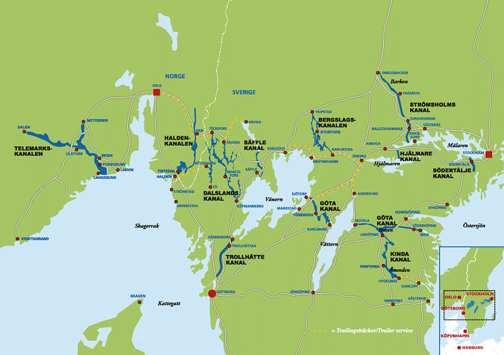
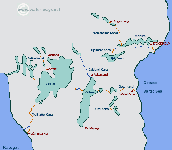
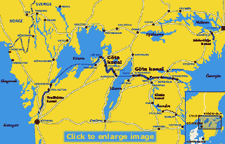
Immediately outside the abbey stands Morten Skinners Hus, a 16th c. private house. The location of the Town Hall, built in the middle ofthe 15th c. shows how the middle of the town had moved away from the abbey toward the castle. In RSdhustorg are a number of well-preserved burghers’ houses, notably Udd Jonssons Hus; in Storgatan is the Finspang Hotel. Motala (pop. 29,000; Stadshotellet, 86 Palace, 90 b.), 16 km (10 miles) N of Vadstena, was the meeting-place of the local thing (assembly) as early as the 14th c. The church dates from that period. The town became important only after the construction ofthe Gota Canai (100). It is, in fact, the headquarters of the Gota Canal Co. The engineer responsible for the canal, Baltzar von Platen, also prepared the town plan for the district around the Motaiavik. He is commemorated by a statue by Christian Eriksson in the Stortorg and a mausoleum alongside the canal. Other features of interest in the town are the nine-arched Storbro (1787) and Borenhults Slusstrappe, a staircase of five locks leading into Lake Boren.
Lake Vattern Sweden Map Photo Gallery
Maybe You Like Them Too
- The Best Cities To Visit in The World
- World’s 10 Best Places To Visit
- Coolest Countries in the World to Visit
- Travel to Santorini, Greece
- Map of Barbados – Holiday in Barbados

