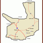
Harlowton/Big Timber/McLeod ESTIMATED LENGTH: 65 miles highlights: Crazy Mountain Museum, Greycliff Prairie Dog Town State Park, Natural Bridge and Falls, Melville Lutheran church, Judith Gap Wind Farm
Getting there: This rural route bisects I-90 in Big Timber head north on US 191 to reach Harlowton and south on the Main Boulder Road (MT 298) to reach McLeod.
The route starts in Big Timber (pop. 1,624), home of the Sheepherders and a site of a significant
Chapter in Lewis and Clark history. Having split with Meriwether Lewis upon the duo’s return from the Pacific in 1806, William Clark camped at a spot where the Boulder River and Big Timber Creek joined the Yellowstone River on opposite banks. The creek sported especially large cottonwood trees hence the name Big Timber. The expedition felled a cottonwood to build a flat-bottomed boat called a pirogue. Settled by Norwegians, Big Timber was one of the last great sheep-ranching areas in Montana. Today, it remains a quiet agricultural community with tree-lined streets, but it’s gradually absorbing the spillover of solitude-seeking newcomers who find Bozeman and Livingston too urban for their tastes. The history is encapsulated well at the Crazy Mountain Museum, which features a remarkable 1907 replica of the town’s 184 buildings. Montanans from as far away as Bozeman and Billings make the drive to Big Timber for dinner and an overnight at the historic Grand Hotel, and the Thirsty Turtle is a lively place to enjoy a brew and a burger.
THE PERKY AND PERSECUTED NATIVE PRAIRIE DOG HAS FOUND SANCTUARY AT PRAIRIE DOG TOWN STATE PARK AT GREYCLIFF
Before heading north or south, take a detour from the Detour. It’s a 7-mile drive east on I-90 to Greycliff Prairie Dog Town State Park, one of few places in Montana where you can see these persecuted critters in all their perky glory. Once back in Big Timber, turn south on MT 298 and drive at least 25 miles (we recommend more) through McLeod (pop. 199) and past the facade farmhouse along the tumbling Boulder River where scenes from The Horse Whisperer were filmed. Continue to Natural Bridge and Falls on the Boulder. The natural arch over the river collapsed in 1988, but the 105-foot falls remain. In lower water, some of the falls disappear and the river vanishes underground, emerging a short distance downstream A trail system offers great views, and it isn’t difficult to scramble into the canyon bed when it’s dry.
Return the way you came back to Big Timber, taking US 191 north for 19 miles to Melville (pop. 142), where the state’s first Lutheran church was built in 1914 in the foothills of the towering Crazy Mountains to the west. All but a few of the first services were performed in Norwegian. Beyond Melville, the landscape changes from grass to pine-studded hills off to the right the sandstone Cayuse Hills before dipping into Harlowton along the Musselshell River.
A LARGE, HOGAN-STYLE STRUCTURE AT BUSBY LETS YOU KNOW YOU’RE IN NORTHERN CHEYENNE COUNTRY
THE WARRIOR TRAIL
The Tongue River Loop HARDIN/CROW AGENCY/BUSBY/BIRNEY/ASHLAND/LAME DEER
ESTIMATED LENGTH: 147 miles ESTIMATED TIME: 5 hours
Highlights: Little Bighorn Battlefield National Monument, Reno-Benteen Battlefield Memorial, Rosebud Battlefield State Park, Tongue River Reservoir, Wolf Mountains Battlefield National Historic Landmark, St. Labre Mission/Cheyenne Indian Museum, Tongue River
Getting there: The Warrior Trail begins at the US 212 exit off I-90 (Exit 510) just south of Crow Agency, about 70 miles east of Billings. If you’re coming from Billings, consider taking the Detour first: you’ll explore some extraordinary country and avoid the monotonous 80-mph hum of the interstate between Billings and Hardin, and you can take a shortcut to the start of the Warrior Trail at Crow Agency.
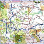
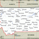
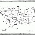
MAP OF MONTANA WITH TOWNS Photo Gallery
Maybe You Like Them Too
- The Best Cities To Visit in The World
- World’s 10 Best Places To Visit
- Coolest Countries in the World to Visit
- Travel to Santorini, Greece
- Map of Barbados – Holiday in Barbados

