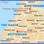
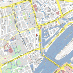
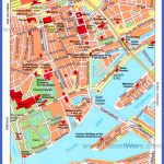
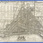
The mega harbor town lies 28 kilometers from the coast on both sides of the New Maas river, one of the tributaries of the Rhine, where it flows into the Rotte. The second largest city in the Netherlands with more than one million inhabitants consists of the Greater Area, the Europort lying on the coast and the enclave Hook of Holland. Rotterdam is by far the port with the largest turnover of goods in the world. Approximately 250 million tons are handled annually, over 100 million tons more than New Orleans and approximately five times as much as Hamburg. The container and bulk traffic are important. One reason for this enormous turnover is the fact, that Rotterdam is also the largest European domestic shipping center, and its position on the Rhine Maas delta links it with large inland ports. This would all be impossible without the Nieuwe Waterweg built 1866-1872, which allows the large ocean liners to enter the Rotterdam port. Rotterdam industry primarily processes imported raw materials. The industrial zone stretches as far as Dordrecht in the east to the North Sea. Here one finds the largest natural oil refineries in the world; cranes, reactors and oil platforms. Also ship building, machinery, aircraft, engines and equipment, wood, paper, foodstuffs, textiles and phototechnical industries; Rotterdam manufactures everything. The town center of Rotterdam, in which half a million people live, has excellent seminar and conference facilities and numerous museums, amongst which the ship museum and the famous Boymans-van-Beuningen Museum with its portrait gallery.
Map of Rotterdam Photo Gallery
Maybe You Like Them Too
- Explore Pulau Sebang Malaysia with this Detailed Map
- Explore Southgate, Michigan with this detailed map
- Explore Les Accates, France with this Detailed Map
- Explore Góra Kalwaria, Poland with this detailed map
- Explore Gumdag, Turkmenistan with this detailed map

