The bullfights are a major pan of the Mexican entertainment scene, part sport, part ritual, a place to vent primitive passions. For some the bullfight is an art-form; for others it serves a function similar to professional football. (Other principal towns and cities have their own corridos, bullfighting stadiums, where toreadors become national heroes, or die trying.)
Jai-alai games provide an outlet for gambling. For more placid enjoyment there are the Floating Gardens of Xochimilco, a reminder of the days when Mexico City, under the Aztecs, was a series of islands in a lake.
Mexico City’s climate is notably affected by the mountains that control rainfall and temperature. Rains come in the summer. The rest of the year the place ranks with Los Angeles and Tokyo as smog capitals of the world.
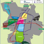
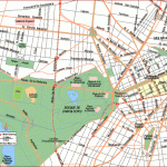
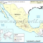
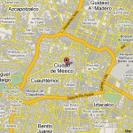
The Valley of Mexico (or Anahuac), the great basin in which Mexico City lies, is about 96 x 46 kilometers, bounded by mountains on three sides. The snowcapped peaks of Popocateptl (5,414 m) and Iztaccihuatl (5,286 m) can be seen in the distance. (Pronounce their names correctly and you win a free bicycle trip to Mexico.) Much of the area is an old lake bed without underlying bedrock. The unstable subsoil and the volcanic nature of the region accounts for the earthquakes experienced there and for the fact that Mexico City continues to sink.
Number one destination for sun lovers in Mexico is Acapulco. After Mexico City it is the number two Mexican destination for North Americans. For several centuries Acapulco was a sleepy little port town connected by a poor road to Mexico City. When Miguel Aleman became Mexican president, Acapulco sprang to life. A heavy investor in Acapulco real estate, Aleman funneled government money to that city for roads and other infrastructure. The highway is called Costera Miguel Aleman after the former president. He was the most prominent personage connected with tourism in Mexico.
In the 1960s and early 1970s Acapulco flourished. Then it began to die as tens of thousands of Mexico’s poor came to live on the sides of the hills that look down on Acapulco Bay. The Bay itself became polluted with the city’s garbage and sewage. Visitors lying on the beach were besieged by hundreds of souvenir sellers.
Again the government stepped in. The squatters, tens of thousands of them, were moved to the other side of the hills, while in their place a magnificent visitors and convention center was built, perhaps the most attractive of any convention center in the world. Continuous entertainment, restaurants, and craft shops are part of the center. The main streets were widened, beach pollution stopped, and Acapulco is alive again. The spectacular Princess Hotel, built like a pyramid, is a complete lodging and entertainment complex with air-conditioned tennis courts, restaurants and enormous swimming pools. It is located on the road to the airport. (Don’t try the beach; it is dangerous.) Las Brisas, now under Westin Hotels management, is another memorable hotel with dozens of individual rooms spaced on the sides of a hill. All overlook Acapulco Bay; most have their own swimming pools, albeit small ones.
A glance at the climate chart shows that the best time of year to visit Acapulco is from December through April when the place is warm, but not hot, and dry. May through October brings heavy rainfall and high temperatures. Even the ocean temperature is too warm to be pleasant for many people until November.
With Acapulco as the southern base, other coastal towns turned to tourism Ixtapa/ Zihuatanejo, Manzanilla, Puerto Vallarta and Mazatlan. Together they form the Mexican Riviera, warm the year-round. After Acapulco, Puerto Vallarta (P.V.) is the most popular. These coastal cities vibrate with visitors during the winter. Over Christmas and Easter, Mexicans come from Mexico City to take their vacations. The weather is warm and humid. During the summer the weather becomes hot, the humidity oppressive.
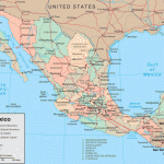
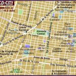
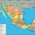
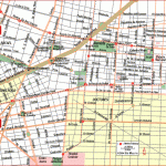
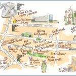
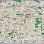
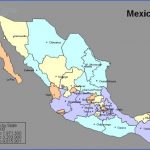
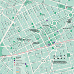
Mexico City Map Photo Gallery
Maybe You Like Them Too
- Explore Les Accates, France with this Detailed Map
- Explore Góra Kalwaria, Poland with this detailed map
- Explore Gumdag, Turkmenistan with this detailed map
- Explore Telfes im Stubai, Austria with this detailed map
- Explore Langenselbold, Germany with this detailed map

