Autonomous Region of Xinjiang
Altitude: 154m/505ft below sea level
Area: 10,300sq.km/3977sq. miles. Population: 180,000
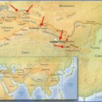
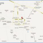
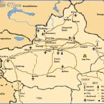
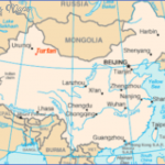
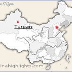
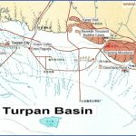
Turpan lies in north-west China, at 89°09’E and 42°55’N, in the centre of the Autonomous Region of Xinjiang, in the valley of the same name; the latter covers an area of 50,000sq.km/19,300sq. miles and, being 154m/505ft below sea-level, is the second lowest region on earth after the Dead Sea. Turpan is three hours by train orfive hours by busfromthe regional capital Urumqi.
The average summer temperature is 32°C/90°F, but in July this sometimes reaches as high as 50°C/122°F. The winters are cold and dry. The number of frost-free days is between 220 and 270. Average annual rainfall is a mere 10mm/0-4in.
Over the years, in attempts to counteract the drought conditions, more than 1000 wells and an underground canal network more than 3000km/1900 miles long have been dug, to conduct water from Tianshin into the Turpan Valley.
The main crops grown are grapes, melons and cotton, the “three treasures of the Turpan Valley”. The very sweet and seedless Turpan grapes are dried to make Xinjiang raisins which are sold throughout China and abroad. The sweet Hami melons, which have been grown here for over 1000 years and can weigh as much as 15kg/33lb, are famous throughout the country.
The Turpan district on the Silk Road was known as a busy trading region as long as 2200 years ago.
Between the 2nd c. b.c. and the 5th c. a.d. the rulers of the Cheshi kingdom resided in Jiaohe, 10km/6 miles west of present-day Turpan. Around the middle of the 7th c. the Tang dynasty established a government in Turpan to ensure better control of the surrounding regions.
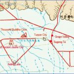
The Emin Mosque was built in the Afghanistan style in the second half of the 18th c. Its tapering minaret (sugong ta in Chinese) is 44m/145ft high.
The Museum contains some valuable pre-15th c. finds from the Astana Tombs.
2200 years ago Jiaohe, 10km/6 miles west of Turpan, was the capital of the Cheshi kingdom. After the 10th c. it declined rapidly, and in the 14th c. was razed to the ground by Genghis Khan’s armies.
The Jiaohe site measures 1 km/1100yd from north to south and 300m/ 330yd from east to west. Remains from the Tang period (618-907) include a number of roofless houses, a large but collapsed temple and several roads leading to a main street.
Remains of Buddhist statues can still be seen in the temple niches.
On the road from Turpan to Gaochang stands the Mount of Flames, so called because the sun shining on its reddish rocks makes them glow as if on fire. The rocks are scarred by deep furrows formed by the action of
Turpan Map Photo Gallery
Maybe You Like Them Too
- The Best Cities To Visit in The World
- World’s 10 Best Places To Visit
- Coolest Countries in the World to Visit
- Travel to Santorini, Greece
- Map of Barbados – Holiday in Barbados

