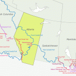
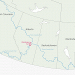
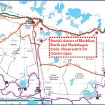
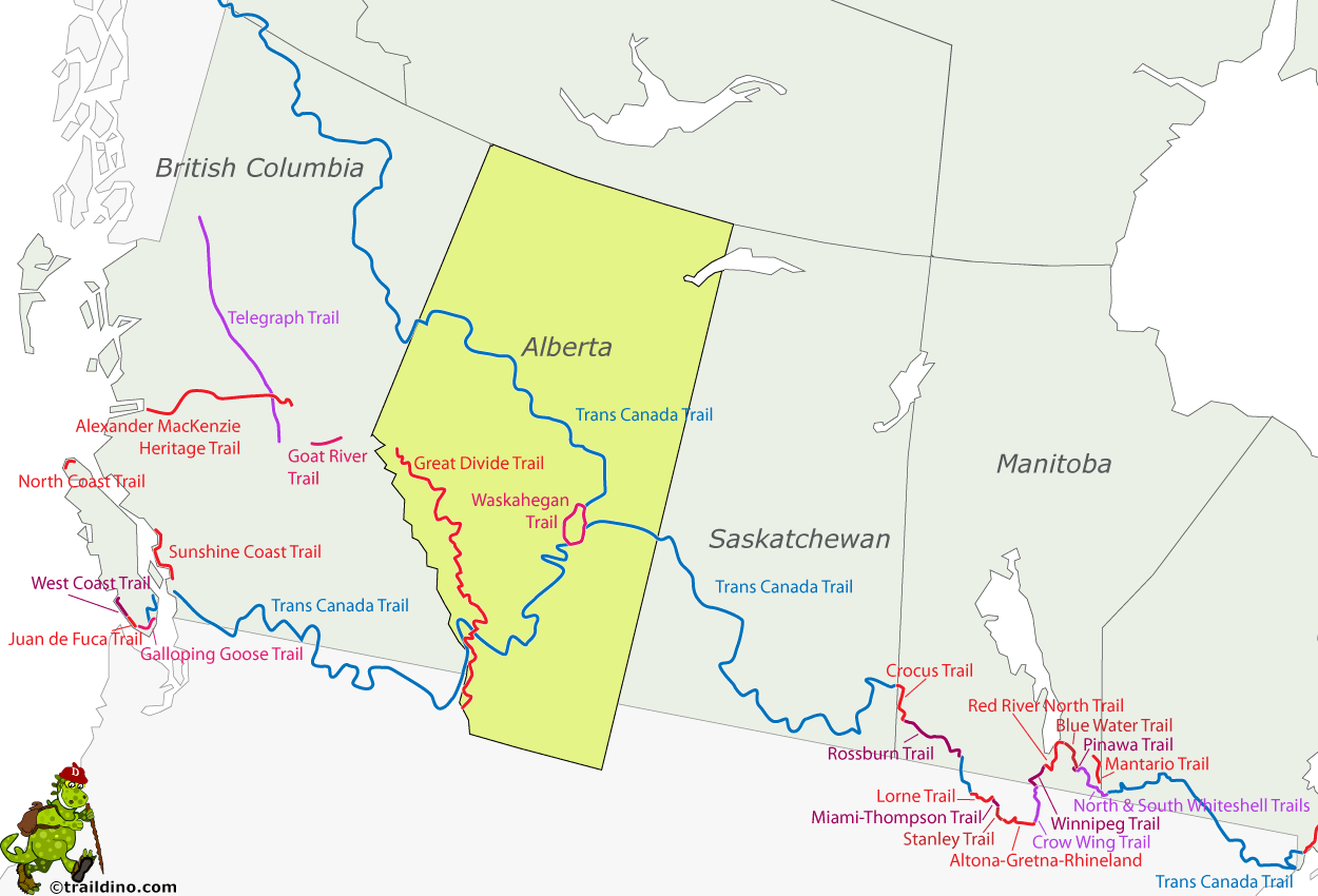
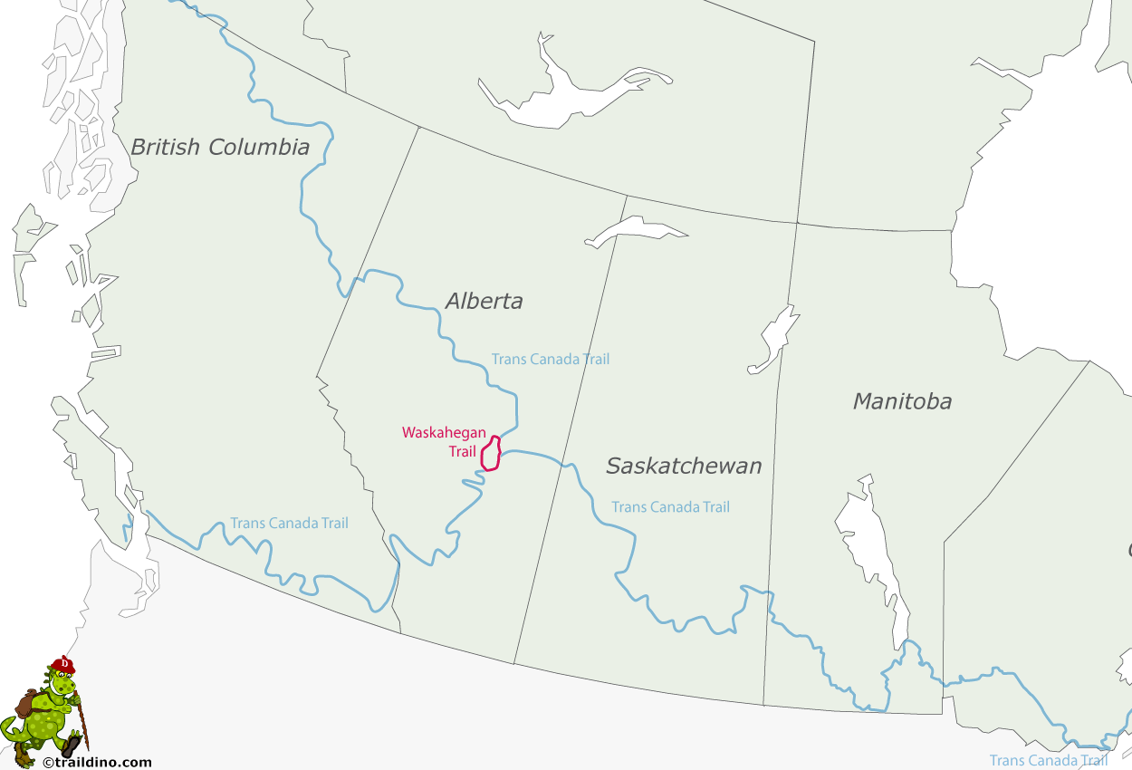
The 309-kilometre Waskahegan Trail loops between Fort Saskatchewan, Edmonton, and Camrose, using both public and private land. From Edmonton, the trail leads south along the Whitemud and Blackmud Creeks, past Saunders and Coal Lakes, to arrive in the Wetaskiwin area. The trail continues east along the Battle River from Gwynne to Camrose and then north from Miquelon Lake through the Ministik Lake Bird Sanctuary, the Hastings Lake area, and the Cooking Lake-Blackfoot Provincial Recreation Area to Elk Island National Park before directing hikers west along Ross Creek to Fort Saskatchewan.
Guided Sunday hikes are held on different trails throughout the year. Each hike covers about 10 kilometres and takes six to seven hours. Walking schedules are published on the Waskahegan Trail Association website (www.waskahegantrail.ca).
Note: Both domestic and wild animals may be encountered on the trail. Most of the trail is infrequently travelled, and in remote areas you will be far from immediate aid. There are no markers flagging potential hazards. Do not open any gates or travel off marked routes. Only walking-based activities such as hiking, skiing, and snowshoeing are permitted.
COOKING LAKE-BLACKFOOT PROVINCIAL RECREATION AREA
Directions: To reach the main access, the Waskahagan staging area and day use area, exit Edmonton travelling east on the Yellowhead Trail. Continue east on the Yellowhead Highway (Highway 16), turn right on Range Road 210, travel 7 km, then follow the signs. Distance: 48 km, or about 41 minutes, east of Edmonton on Hwy 16 and immediately south of and adjacent to Elk Island National Park. The interpretive centre is located at the Waskahegan Staging Area on Range Road 210, 7 km south of Hwy 16 or 5 km north of Hwy 630.
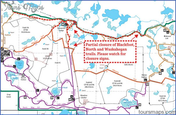
Info: Access is also available through the Blackfoot, Islet Lake, and Central staging areas. Open daily in the summer season from 7:00 a.m. to 11:00 p.m., during special events, and at other times when volunteers become available. Bring your own firewood if using one of the four staging staging areas. Potable water is not available in the backcountry, but you will find firewood. Trail maps mark each trail intersection. 780-922-3293; www.albertaparks.ca;www.dotheblackfoot.ca.
The Cooking Lake-Blackfoot Provincial Recreation Area was once a major hunting ground for Sarcee, Cree, and Blackfoot tribes. Today this 9,700-hectare region is enjoyed for its more than 170 kilometres of moderate and intermediate backcountry trails through forest, pasture, and wetland areas. A multi-use area, it supports agriculture, wildlife management, and natural gas extraction, as well as outdoor recreation, including horseback riding, cross-country skiing, hiking, mountain biking, and dogsledding. Canada’s largest cross-country ski event, the Canadian Birkebeiner Ski Festival, is held here the second weekend each February.
The park’s four day-use areasBlackfoot, Central, Islet Lake, and Waskehaganhave all-weather shelters, warm-up stoves, washrooms, firepits, and picnic facilities. Cold running water is available in summer. There are 25 named trails and numerous birdwatching sites, with more than 200 species of birds, including a few pairs of trumpeter swans that have been known to nest in this area. The world’s largest and rarest swan, the trumpeter is a vulnerable species in Alberta. Watch for bluebirds, red-tailed hawks, northern flickers, and great blue herons, and be careful not to disturb the nesting sites of any birds. Visit the Cooking Lake-Blackfoot Heritage Interpretive Centre for exhibits depicting forest ranger activities, farm implements, and area history. Trail maps are also available at kiosks located at each staging area.
The Cooking Lake Forest Reserve, founded in 1899, includes the landmass we know today as Cooking Lake-Blackfoot Provincial Recreation Area and Elk Island National Park.
Visitors can enjoy canoeing and kayaking on Islet Lake, as well as horseback riding on more than 85 kilometres of equestrian trails and in designated pastures. Blackfoot Staging Area equestrian trails can be used for mushing (dogsledding) and skijoring (skiing while being towed by a dog) in winter. The Fiera Race Club has added Blackfoot as a location for its series of Kettle Cross Enduro Bike Race events. Another major event is the Ultra Marathon held every May, with marathoners nicknaming the Siksika Trail death by a thousand hills. Many horse groups hold annual trail riding events here throughout the year.
Blackfoot Staging Area and Beaver Hills Dark Sky Preserve
Location: 4 km east of the Elk Island National Park entrance and about 0.8 km east of the Ukrainian Heritage Village entrance. Turn south at the first crossroads onto Range Road 195 and travel 4 km to the park entrance. The observation area is 0.5 km past the cattle guard. Drive slowly to avoid running into anyoneor their telescopesand to minimize dust. Info: The Royal Astronomical Society of Canada uses the site for observing sessions, usually the weekend prior to a new moon. It is imperative to follow night sky etiquette to avoid diminishing participants’ night vision. Admission is free. Outhouses are available. Bring your own food and drink. www.edmontonrasc.com.
The Blackfoot Provincial Recreation Area is a 300-square-kilometre region east of Sherwood Park dedicated to maintaining dark skies. The preserve encompasses Elk Island National Park and the Cooking Lake-Blackfoot Provincial Recreation Area. The Royal Astronomical Society of Canada uses the site to observe the night sky. The public is welcome to attend, providing they pay extreme attention to night sky etiquette.
WASKAHEGAN TRAIL Photo Gallery
Maybe You Like Them Too
- Explore Les Accates, France with this Detailed Map
- Explore Góra Kalwaria, Poland with this detailed map
- Explore Gumdag, Turkmenistan with this detailed map
- Explore Telfes im Stubai, Austria with this detailed map
- Explore Langenselbold, Germany with this detailed map

