WATOGA STATE PARK MAP WEST VIRGINIA
10,100 acres. Located alongside the Greenbrier River and next to Mo-nongahela National Forest in the southeastern part of the state, this is West Virginia’s largest state park.
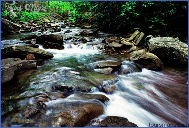
Terrain here is mountainous, with mixed hardwood forests including oak and hickory, birch and pine, and some rhododendron. There are several streams and an 11-acre lake. Among the wildlife are white-tailed deer, black bear, and fox.
Activities: The park has over 30 miles of trails for hiking and backpacking, including a 5-mile segment of the Allegheny Trail. Horseback riding is also available, and horses may be rented in the park.
Canoeing is possible on the Greenbrier River. Some trails and roads are designated for crosscountry skiing in the winter. Fishing is allowed at the lake or along the river.
Camping Regulations: Camping is permitted at two designated primitive camping areas, and restricted to these locations.
For Further Information: Watoga State Park, Star Route 1, Box 252, Marlinton, WV 24954; (304)799-4087.
WATOGA STATE PARK MAP WEST VIRGINIA Photo Gallery
Maybe You Like Them Too
- Arnold A Town with a Heart
- The Best Cities To Visit in The World
- World’s 10 Best Places To Visit
- Map of New York City – New York City Guide And Statistics
- Map of San Francisco – San Francisco Map Free