Raven Rock Alternate Command Center (“Site R”), Waynesboro
The “alternate command center” in its name tells what the purpose of this site is: this is where U.S. forces would be commanded if the Pentagon had been destroyed in the event of a nuclear war. After the September 11 attack on the Pentagon, several key military leaders, including Deputy Secretary of Defense Paul Wolfowitz, spent time here. Like Mount Weather (see VIRGINIA), this facility also known as “Site R” is underground and designed to be entirely self-sufficient for over 30 days following a nuclear catastrophe.
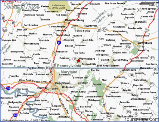
The Raven Rock Alternate Command Center, or Site R, is located approximately six miles of Camp David, the presidential retreat, along the Maryland-Pennsylvania border. It is located inside Raven Rock Mountain. The fenced surface area covers 650 acres.
Planning for a standby military command center near Washington began shortly after the Soviet Union tested its first atomic weapon in 1949. President Truman approved the selection of the Raven Rock site in 1950 and construction began in 1951. The facility became operational in 1953 and has been expanded and upgraded several times since then. From the beginning, communications capabilities were stressed and the facility is also known as an “alternate joint communications center” for the armed forces.
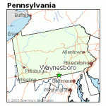
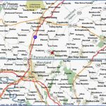
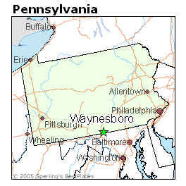
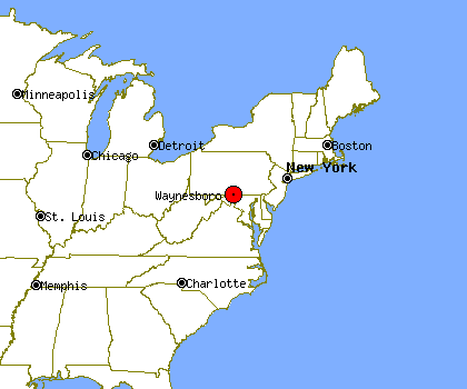
Waynesboro, Pennsylvania Map Photo Gallery
During the Cold War, Raven Rock/Site R was reportedly staffed full-time by 350 military and Department of Defense personnel. Support was provided by Fort Ritchie, a nearby Army base that has since been closed. After the collapse of the Soviet Union and the closure of Fort Ritchie, Site R went into a “maintenance” level of activity. However, Site R went back to a much higher level of readiness following the September 11 attacks. Helicopter and vehicle traffic to and from the site has greatly increased, as has security around the facility.
What’s There: It is reported that Site R occupies approximately 700,000 square feet of underground space and is several hundred feet inside Raven Rock Mountain. It is reported there are five separate “buildings,” each three “stories” tall, hollowed out of the granite under the mountain. Each building is connected by tunnels. Those who worked there in the 1950s and 1960s have said the facility contains much computing and communications equipment, living facilities (private rooms for VIPs, bunks/barracks for the rest), a dining hall (complete with numerous paintings of outdoor scenes), a medical bay with operating facilities, and even a barbershop. There are also power generating equipment and supplies of food and water to allow Site R to operate self-sufficiently for approximately a month.
The exact number of persons that can be housed inside Site R is not precisely known, with estimates ranging from several hundred to over 3000. Given the size of the facility, it is likely the number that can be housed is under 1000 persons.
Secret Stuff: There are reports that a tunnel runs from Site R to Camp David, which means the tunnel would have to be at least six miles long.
Getting a Look Inside: The best view of the surface facilities of Site R, including communications antennas, can be seen about ten miles west of Waynesboro, PA, on State Highway 16. Binoculars or a telephoto lens will help in making out details. Closer approaches to Site R will probably attract the attention of security guards, as described next.
Unusual Fact: Cell phones and GPS receivers often do not work near Site R, indicating some sort of jamming technology is employed to keep uninvited visitors from communicating or precisely locating the site. (GPS technology could also be used to guide in a hijacked airliner or other airborne weapon; the 9/11 hijackers used GPS receivers to guide their way to the World Trade Center and the Pentagon.)
Getting There: The closest town to Site R is Blue Ridge Summit, PA, but the easiest approach is an unmarked (but very well-paved) road off Highway 16 east of Waynesboro; the road intersects Highway 16 near an old stone church and heads uphill. However, this road is soon blocked by concrete barriers manned by military guards, and local police are summoned if visitors do not immediately leave; there have been several incidents of threatened arrest and confiscated film. There is also another entrance located on Harbaugh Valley Road off Highway 16; the intersection is just past a cemetery. Several homes are found along this road, but you will likely be stopped and questioned if you drive all the way to the guarded gate at the end of the road. There are also unconfirmed reports of two other entrances located off the twisting mountain roads in the area.
Maybe You Like Them Too
- Explore Les Accates, France with this Detailed Map
- Explore Góra Kalwaria, Poland with this detailed map
- Explore Gumdag, Turkmenistan with this detailed map
- Explore Telfes im Stubai, Austria with this detailed map
- Explore Langenselbold, Germany with this detailed map

