In 1952 the Huaxing Shimu, a tomb from the Eastern Han period (a.d. Surroundings 25-220) was discovered 14km/9 miles north of the town. Inside it can be seen stone tablets with reliefs which give an insight into the lives of Stone Tomb aristocrats of the period. Huaxing Shimu A sensational find was made in 1984 in a Han period tomb (206 b.c. to a.d. Terracotta 220), when a terracotta army of more than 3000 figures up to 40cm/16in. tall Army was unearthed.
The Tablet ofthe Great Wind, measuring 1-7m/51/!ft tall and 1-23m/4ftwide, Tablet ofthe is displayed in the House of Culture in Peixian-70km/43’/! miles north-west Great Wind of Xuzhou-the birthplace of Liu Bang, the first emperor of the Han dynasty (Dafeng Bei) (206 b.c. to a.d. 220). A poem composed by the emperor was engraved in the stone some 2200 years ago.
At the same place will be found a second stone tablet, 2-23m/7ft4in. tall and 1-23m/4ft wide, engraved with the same poem but written in a different order. This latter tablet dates from 1306.
Area: 3556sq.km/1373sq. miles. Population: 220,000
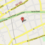
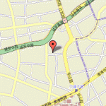
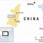
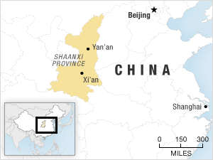
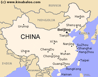
Yan’an is situated on the Yanhe river, on a loess plateau in the north of Shaanxi province, at 109°25’E and 36°38’N. There are rail links with the provincial capital of Xi’an, about 270km/168 miles away.
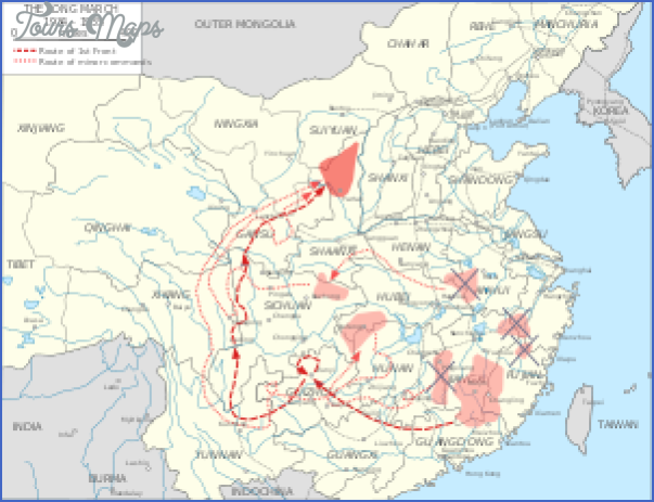
Yan’an has a history going back 1300 years. However, it was only in the 1930s and 1940s that it became famous as the headquarters of the Red Army and the Communist Party of China.
This pagoda dates from the Ming period (1368-1644) and was restored several times underthe Qing (1644-1911). It stands on the top of a hill inthe east of Ya’an, on the banks of the Yanhe, and is the town’s emblem as well as being the symbol ofthe Revolution.
The building is44m/145ft high and octagonal in plan. There is a beautiful view of the town from here.
Nearby can be seen a large cast-iron 17th c. bell.
In a small courtyard at the foot of Mount Phoenix (Fenghuangshan) in the north of Ya’an stands the house where Mao Zedong lived from January 1937 to November 1938.
From 1938 to 1940 and again from 1942 to 1943 the offices of the Central Committee of the Communist Party of China (CPC) were located in the village of Yangjia Ling, 3m/2 miles north-west of Ya’an; from 1940 to 1942 and again from 1944 to 1947 they were in Zaoyuan, 10km/61/4 miles northwest of the town. Here visitors can see the offices and the residential
Geyuan Garden quarters ofthe top Communist party leaders such as Mao Zedong, Zhu De, Zhou Enlai and others.
The Tomb ofthe Yellow Emperor li’es some 100km/62 miles south of Ya’an near the town of Huangling at the foot of Mount Qiaoshan.
The mausoleum is 3-6m/11ft 10in. high and 48m/157ft in circumference. In front of it stands a pavilion with a stela, the four characters engraved on which mean “From Mount Quiaoshan he rode to Heaven on a dragon”. This reflects the legend which says that the mythical Yellow Emepror departed this life at the foot of the mountain.
In prehistoric times many different tribes lived in the Huanghe valley, each with its own leader and its own tribal hierarchy. The Yellow Emperor-his real name was Gongsun Xuanyuan – was the chief of one of the strongest tribes. It was actually his successors who gave him the name of “Yellow Emperor”, yellow symbolising the soil and the landscape of this region. The legend also explains how the Yellow Emperor promoted agriculture here while his wife showed the womenfolk how to grow mulberry trees and breed silkworms.
For many centuries, during the Qing Ming Festival which is celebrated in early spring in memory of the departed, the local population has come to Mount Qiaoshan to pay homage at the Tomb of the Yellow Emperor.
Yan’an Map Photo Gallery
Maybe You Like Them Too
- The Best Cities To Visit in The World
- World’s 10 Best Places To Visit
- Coolest Countries in the World to Visit
- Travel to Santorini, Greece
- Map of Barbados – Holiday in Barbados

