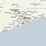
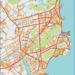
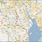
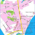
Zhuhai lies to the west of the mouth of the Xijiang river, just north of Macau, at 113°29’E and22°14’N. It is linked by motorway and shipping line with the provincial capital Canton, 140km/87 miles away.
Zhuhai’s historical town centre embraces 104 small islands which have much to offer in the way of leisure activities and beautiful scenery.
Until the mid-1900s Zhuhai was just a minor township forming part of a largertown. It was 1953 before it became administratively autonomous, In 1979 central government decided to establish a Special Economic Zone here; this meant a freer economic policy and a more flexible form of administration. Since then Zhuhai has enjoyed enormous economic and urban growth.
The Beach Park in the east-central part of the town lies in the shadow of Mount Shijingshan. It is also known as Incense Bay because at one time, before going out fishing, fishermen would burn incense here in order to seek the protection ofthe gods.
Today the beach with its fine silver sand offers much in the way of modern bathing facilities.
A popular place for outings and excursions is the “Stone Zoo”, in the centre of town west of Beach Park. Here visitors can see 22 stone formations shaped like animals, including elephants, rhinos, snakes and various other beasts.
Zhuhai Map Photo Gallery
Maybe You Like Them Too
- The Best Cities To Visit in The World
- World’s 10 Best Places To Visit
- Coolest Countries in the World to Visit
- Travel to Santorini, Greece
- Map of Barbados – Holiday in Barbados

