Capital of Jiangxi Province
Altitude: 20m/65ft. Area: 65sq.km/25sq. miles Population: 850,000 (conurbation 2,450,000)
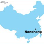
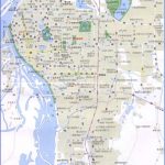
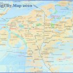
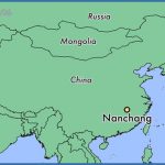
Nanchang lies at 115°53’E and 28°41’N, in the north of the province of Jiangxi, on the River Ganjiang.
The city can be reached from Beijing, Shanghai and Canton by rail and there are air connections with almost all the large cities in China.
The first settlement in this area has been proved to have existed 5000 years ago. In the 2nd c. b.c. this settlement had acquired the dimensions of a town, was given the name Nanchang (“flourishing town ofthe south”) and started to become a trading centre for agricultural produce. On August 1st 1927 the Chinese Communists under the leadership of Zhou Enlai organised an armed insurrection here and drove the troops of Chiang Kaishek out of the town for a short time. This date is considered the historical starting-point ofthe Red Army.
Today Nanchang is the political, economic, cultural and scientific centre of the province of Jiangxi.
Sights
The Park of the 1st of August, which was laid out in 1932, contains East Lake (Dong Hu) and Hundred Flowers Island (Baihua Zhou). Duringthe Southern Song period (1127-1279) the lake was used as a training-ground for imperial troops. Subsequently, right up to the beginning of this century, the park was the scene of imperial state examinations at district and provincial level.
On Hundred Flowers Island lies Master Su’s Garden, named after the scholar Su Yunquin, who laid it out some 1000 years ago.
The Museum of the Revolution (Baiyi Qiyi Jinianguan) is situated in the west of the city, on Zhongshan Lu. Originally a five-storey hotel, it was turned into the Communist headquarters following the uprising on August 1st 1927.
The Temple of Great Peace, which dates back to the 4th c., stands on Yuzhanghou Jie. Inside, a large iron vessel dating from the period of the Three Kingdoms (220-263) is kept.
The Memorial Hali to the Martyrs ofthe Revolution (Geming Lieshi Jinian-tang) is on Bayi Dadao and commemorates ten civil war battles and the revolutionaries who fell in them.
The Provincial Museum, which was opened in 1958, displays archaeological finds, calligraphy and ceramics from the Ming and Qing periods (1368-1911), as well as technical exhibits.
Nanchang
Street scene in Nanchang
The 45m/148ft high Memorial Pagoda to the Nanchang Uprising on Bayi Guangchang Square was erected in 1977 on the occasion of the 50th anniversary of the 1927 uprising.
The marble and granite clad building bears inscriptions recalling the events of that time. Memorial Pagoda to the Nanchang Uprising (Bayi Nanchang Qiyi Jinianta) The Gold Wire Pagoda in the south ofthe city dates from the early 10th c. Gold Wire During excavation work in the immediate surrounding area four bundles of Pagoda gold wire and three swords were brought to light. (Shenjin Ta) The pagoda collapsed in 1708 but was rebuilt five years later. In 1788 it was surmounted with a gold tripod which was supposed to ward off fires. The octagonal 59m/194ft high pagoda has seven storeys, each with a canopy. The actual date of the Taoist Temple of the Blue Clouds, situated in a Temple of the southern suburb of the city, is a matter of controversy, with opinions Blue Clouds ranging from 321 to 641. (Qingyunpu)
The temple houses a museum in which are displayed works by the painter Badashanren and his pupils. Zhu Da (c. 1626-c. 1705), better known by the pseudonym Badashanren (Man of the Eight Great Mountains), was one of the greatest painters of his age.
His work, which departs radically from the style of the time, exerted a lasting influence on the modern impressionists. Badashanren disapproved of the Qing dynasty, which ruled from 1644, and in 1661 retreated to this temple for a period of 26 years.
The three main halls are dedicated to the god of war Guandi, the Taoist saint Lu Dongbin and the legendary dragon-slayer Xu Dun.
Nanchang Map Photo Gallery
Maybe You Like Them Too
- The Best Cities To Visit in The World
- World’s 10 Best Places To Visit
- Coolest Countries in the World to Visit
- Travel to Santorini, Greece
- Map of Barbados – Holiday in Barbados

