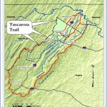
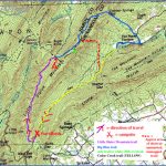
BIG BLUE TRAIL MAP WEST VIRGINIA
66 miles in West Virginia (144 total). The Big Blue Trail runs from the C & O Canal Trail in Maryland, heading southwest through West Virginia into Virginia, where it turns southeast and terminates in Shenandoah National Park.
This trail connects with the Appalachian Trail twicein Shenadoah National Park, and again via the Tuscarora Trail in Pennsylvaniathus forming a huge 250-mile loop. Difficulty varies from easy to strenuous.
It traverses some rugged terrain, with wild mountain scenery along the way, and for stretches the trail also follows old country roads. A portion is within George Washington National Forest, while other parts of the trail are on private lands.
Camping Regulations: Camping and campfires are allowed almost anywhere in George Washington National Forest, except where otherwise prohibited. Along other sections of the trail camping is generally restricted to designated sites.
For Further Information: Potomac Appalachian Trail Conference, 1718 N Street, NW, Washington, DC 20036; (202)638-5306. The Big BlueA Trail Guide is available from this organization.
BIG BLUE TRAIL MAP WEST VIRGINIA Photo Gallery
Maybe You Like Them Too
- Arnold A Town with a Heart
- The Best Cities To Visit in The World
- World’s 10 Best Places To Visit
- Map of New York City – New York City Guide And Statistics
- Map of San Francisco – San Francisco Map Free

