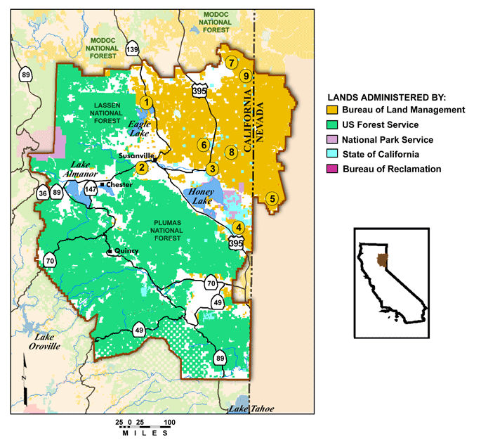
BLM LANDS IN MAP CALIFORNIA
California has some 17,200,000 acres of lands in the public domain, administered by the BLM (Bureau of Land Management), and consisting of a great number of tracts scattered around the state. Many of the largest areas are in southeastern California.
On these lands are many major rivers, rugged mountains, deep canyons, badlands with rock formations, and other California Desert scenery. One area of special interest is the 60,000-acre King Range National Conservation Area along the northern coast.
Access to some of the BLM areas is difficult, roads are often not in good condition, and facilities are few. Detailed printed information is not available for many of the locations.
Activities: Most of these lands are open to hiking and backpacking. There aren’t many established trails, and those that exist are often short, but the number of trails in California is nevertheless greater than on BLM lands in other states.
Most notable are sections of the Pacific Crest Trail (see entry page 113) and the 35-mile Lost Coast Trail, located in the King Range National Conservation Area. Cross-country travel is feasible in some regions.
Horseback riding is generally allowed, as is mountain biking. Cross-country skiing is an option in areas where there’s adequate snow. Rafting, kayaking, and canoeing are available on some of the rivers. Hunting and fishing are permitted in season.
Camping Regulations: Camping is allowed freely on most BLM lands, except near developed areas or where otherwise prohibited. Campsites should be away from trails and water sources. A fire permit is required in order to build a campfire or use a stove. Camping and fires may be restricted or forbidden in some areas.
For Further Information: Bureau of Land Management, 2800 Cottage Way, Sacramento, CA 95825; (916)978-4754.
BLM LANDS IN MAP CALIFORNIA Photo Gallery
Maybe You Like Them Too
- Arnold A Town with a Heart
- The Best Cities To Visit in The World
- World’s 10 Best Places To Visit
- Map of New York City – New York City Guide And Statistics
- Map of San Francisco – San Francisco Map Free