BLM LANDS IN SOUTH DAKOTA MAP SOUTH DAKOTA
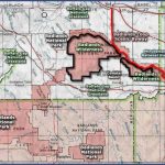
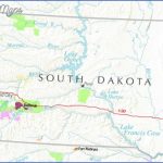
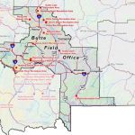
South Dakota has 280,000 acres of public lands which are administered by the BLM (U.S. Bureau of Land Management). Most of the acreage is in northwest South Dakota, and some of the areas are open to livestock grazing and forestry.
Camping and campfires are freely allowed on these lands, with the exception of a couple of small areas. For further information contact the Bureau of Land Management, 310 Roundup Street, Belle Fourche, SD 57717; (605)892-2526.
In addition, primitive camping is permitted along the shoreline of the Missouri River, which runs down through central South Dakota, and includes several reservoirs. This river is part of the Lewis and Clark National Historic Trail.
For information about canoeing and camping on the Missouri and other rivers in South Dakota, contact the South Dakota Department of Game,
Fish, and Parks, 445 E. Capitol Ave., Pierre, SD 57501; (605)773-3391.
BLM LANDS IN SOUTH DAKOTA MAP SOUTH DAKOTA Photo Gallery
Maybe You Like Them Too
- Arnold A Town with a Heart
- The Best Cities To Visit in The World
- World’s 10 Best Places To Visit
- Map of New York City – New York City Guide And Statistics
- Map of San Francisco – San Francisco Map Free

