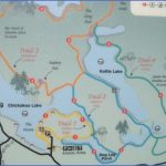
Chickakoo Lake Recreation Area Map Edmonton
Location: 13 km from Stony Plain. Exit Stony Plain on Hwy 779; turn left (west) at Township Road 534. Drive 5 km, then turn right (north) onto Range Road 12A and continue on to Range Road 13. Directional signs along the route will guide you.
Chickakoo Lake Recreation Area is a 194-hectare park located on the ancient delta of a glacier. It encompasses seven small lakes and two ponds. Maps at the park entrance detail more than 14 kilometres of trails that include easy walks and more challenging hikes. A self-guided interpretive tour along one of the trails details park flora and fauna.
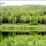
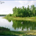
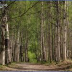
Mountain bikers, horseback riders, and hikers will find exploring these hills and valleys a pleasurable experience. Bring your binoculars and camera because wildlife is plentiful. This is also a good place to paddle a canoe or fish for brook trout. Once enough snow falls, trails are groomed for all levels of cross-country skiing. A chalet is available from November through April.
Chickakoo Lake Recreation Area Map Edmonton Photo Gallery
Maybe You Like Them Too
- Explore East Lindfield, Australia with this detailed map
- Explore Bonferraro, Italy with this detailed map
- Explore Doncaster, United Kingdom with this detailed map
- Explore Arroyito, Argentina with this Detailed Map
- Explore Belin, Romania with this detailed map

