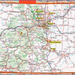
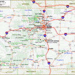
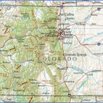
Colorado Map
RIO GRANDE NATIONAL FOREST
1,851,792 acres. Rio Grande National Forest stretches through south-central and southwestern Colorado, and includes parts of the San Juan, La Garita, and Sangre de Cristo Mountain Ranges. Included are substantial segments of the Continental Divide.
There tire many rugged, rocky peaks, with some elevations over 14,000 feet, rock outcrops and nat-1 ural arches, steep canyons and volcanic cliffs, j along with numerous lakes, streams, and rivers, including the source of the Rio Grande.
The region is forested with spruce and fir, pine and aspen, in addition to meadows and areas of alpine tundra. Black bear, mule deer, elk, mountain lion, and bobcat are among the wildlife.
Three designated wilderness areas are found here: 169,000 acres of the 460,000-acre Wemi-nuche Wilderness, 88,000 acres of the 127,000-acre South San Juan Wilderness, and 24,000 acres of the 108,000-acre La Garita Wilderness.
Activities: Hiking and backpacking are possible on over 1,300 miles of trails, including about 235 I miles of the Continental Divide Trail (see entry page 122).
Difficulty ranges from easy to quite strenuous. Trails at high elevations are often under snow except from mid-July through mid-September. Horses are permitted on many trails.
Rafting, kayaking, and canoeing are available on the Rio Grande. Cross-country skiing is possible on some trails during the snow-season. Fishing is also feasible, and hunting is permitted in season.
Camping Regulations: Camping is allowed throughout most of the National Forest, as are campfires, except where posted otherwise. No permits are necessary. Camping is restricted in some parts of wilderness areas. Tents should be set up at least 200 feet from trails and water sources. Stoves are recommended.
For Further Information: Rio Grande National Forest, 1803 West Highway 160, Monte Vista, CO 81144;(303)852-5941.
Colorado Map Photo Gallery
Maybe You Like Them Too
- Arnold A Town with a Heart
- The Best Cities To Visit in The World
- World’s 10 Best Places To Visit
- Map of New York City – New York City Guide And Statistics
- Map of San Francisco – San Francisco Map Free

