GOLDEN GATE CANYON STATE PARK MAP COLORADO
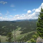
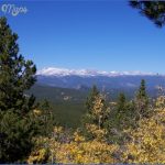
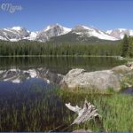
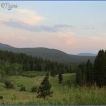
10,200 acres. This mountainous and popular state park near Denver has some elevations over 10,000 feet, and includes mountain meadows, pine forests, and outstanding views.
Activities: There are about 60 miles of trails for hiking and backpacking. Difficulty varies from easy to strenuous. Horseback riding and mountain biking are allowed on some trails.
Cross-country skiing and snowshoeing are winter options here. Fishing is available along the streams and at most ponds. Hunting is permitted in season.
Camping Regulations: Camping is restricted to 23 backcountry sites. A permit is required, and must be obtained from the visitor center. A fee is charged to camp here each night. Campfires are not allowed.
For Further Information: Golden Gate Canyon State Park, Route 6, Box 280, Golden, CO 80403; (303)592-1502.
GOLDEN GATE CANYON STATE PARK MAP COLORADO Photo Gallery
Maybe You Like Them Too
- Arnold A Town with a Heart
- The Best Cities To Visit in The World
- World’s 10 Best Places To Visit
- Map of New York City – New York City Guide And Statistics
- Map of San Francisco – San Francisco Map Free

