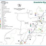
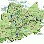
GREENBRIER RIVER TRAIL MAP WEST VIRGINIA
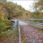
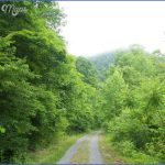
80 miles. While this is not really a wilderness trail, it runs alongside the Greenbrier River through some attractive rural and riverside scenery of southeast West Virginia, including some small towns. The trail follows an old railroad bed, and thus makes for easy backpacking. It’s also open to bicycling, horseback riding, and in the winter cross-country skiing.
Camping Regulations: A number of primitive camping areas are located along the trail, and camping is limited to these sites. Permits are not required, and except at a regular campground in Watoga State Park, no fees are charged.
For Further Information: Greenbrier River Trail, c/o Watoga State Park, Star Route 1, Box 252, Marlinton, WV 24954; (304)799-4087.
WEST VIRGINIA CAMPING RESOURCES
USEFUL GUIDEBOOKS
Hiking Guide to the Allegheny TrailWest Virginia Scenic Trails Association.
Hiking Guide to Monongahela National Forest and VicinityWest Virginia Highlands Conservancy.
Hiking the Mountain Statede Hart, Allen. Boston: Appalachian Mountain Club, 1986.
INFORMATION ABOUT STATE PARK AND STATE FOREST CAMPGROUNDS Travel West Virginia, Department of Commerce, State Capitol, Charleston, WV 25305; (800)CALL-WVA.
STATE HIGHWAY MAP AND TRAVEL INFORMATION Travel West Virginia, Department of Commerce, State Capitol, Charleston, WV 25305; (800)CALL-WVA.
GREENBRIER RIVER TRAIL MAP WEST VIRGINIA Photo Gallery
Maybe You Like Them Too
- Arnold A Town with a Heart
- The Best Cities To Visit in The World
- World’s 10 Best Places To Visit
- Map of New York City – New York City Guide And Statistics
- Map of San Francisco – San Francisco Map Free

