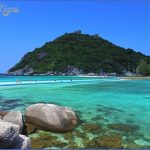
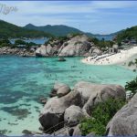
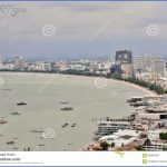
The Gulf of Thailand literally meaning Gulf of Siam is a shallow arm of the South China Sea. It is bordered by Cambodia, Thailand and Vietnam. The northern tip of the gulf is the Bay of Bangkok at the mouth of the Chao Phraya River. The gulf covers roughly 320,000 kirf. The boundary of the gulf is defined by the line from Cape Bai Bung in southern Vietnam (just south of the mouth of the Mekong river) to the city Kota Baru on the Malaysian coast. At the height of the last ice age the Gulf of Thailand did not exist, due to the lower sea level, the location being part of the Chao Phraya river valley.
The Gulf Of Thailand and the Andaman Sea
The Gulf of Thailand is relatively shallow: its mean depth is 45 m, and the maximum depth only 80 m. The main rivers which empty into the gulf are the Chao Phraya (including its distributary Tha Chin River), Mae Klong and Bang Pakong Rivers at the Bay of Bangkok, and to a lesser degree the Tapi River into Bandon Bay in the southwest of the gulf.
Lonely Beach on Koh Chang
The Gulf of Thailand harbors many coral reefs, and thus several diving resorts. Due to the tropical warmth of the water, it is popular with tourists. Some of the most important tourist destinations in the Gulf of Thailand’s east coast are the islands of Koh Samet, Pattaya and Koh Chang.
Gulf of Thailand East Coast Photo Gallery
Maybe You Like Them Too
- Bakel, Netherlands A Visual Tour of the Town
- Explore Apapa, Nigeria with this Detailed Map
- Explore Angleton, Texas with this detailed map
- Explore Blavozy, France with this detailed map
- Explore East Lindfield, Australia with this detailed map

