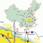
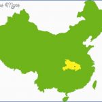
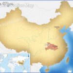
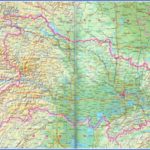
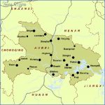
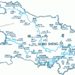
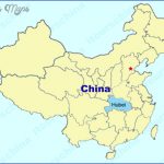
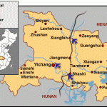
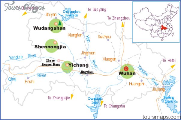
The province of Hubei lies north of Lake Dongting Hu (hence its name: Situation
Hubei means “north of the lake”), along the middle course of the Chang-jiang, between 108°21-116°07’E and 29°01′-33°16’N.
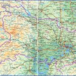
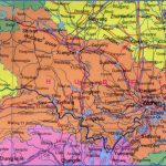
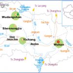
A large part of Hubei, often known as the “land of the thousand lakes”, Topography consists of a river depression opening southwards caused by the wide meanderings of the Changjiang and by the Hanshui, the area being bounded to the west, north and east by mountain ranges. In the west lies the 3105m/10,187ft high mountain of Shengnongjia, which is surrounded by an enormous rain forest. This area has been declared a nature reserve.
The province has features of both continental and monsoon climates, with Climate all four seasons being very well defined. Winters are short and cold, summers hot and moist. The average temperature is 4°C/39°F in January and 30°C/86°Fin July. The provincial capital of Wuhan ranks with Tschungk-ing and Nanjing as one ofthe hottest cities in China, with temperatures in summer often rising above 40°C/104°F. Rainfall (600-700mm/23-28in.) occurs mainly in spring and at the beginning of summer.
During the Zhou dynasty (11th c-221 b.c.) Hubei belonged to the kingdom History of Chu. Then it was incorporated into the empire of China by the Qin-Emperor Shi Huangdi (reigned 221-210 B.C.). Because of its position on the Changjiang the area attained considerable importance. In 1644 the province of Hubei was formed. Since 1860 certain towns in the province have been open for trade to the western powers. Wuhan was the starting-point ofthe revolution of 1911, which led to the downfall ofthe Qing dynasty.
The iron and steel combines of Wuhan and Huangshi were established as a Economy result of the discovery of extensive iron deposits. In addition gypsum quarrying and copper and phosphate mining are all important. Industries of note include machine construction, shipbuilding and chemicals.
Hubei is one of the most important rice-producing (wet rice cultivation) areas in China. Other key crops are cotton, tea (in the mountain areas),
Hubei Map Photo Gallery
Maybe You Like Them Too
- The Best Cities To Visit in The World
- World’s 10 Best Places To Visit
- Coolest Countries in the World to Visit
- Travel to Santorini, Greece
- Map of Barbados – Holiday in Barbados

