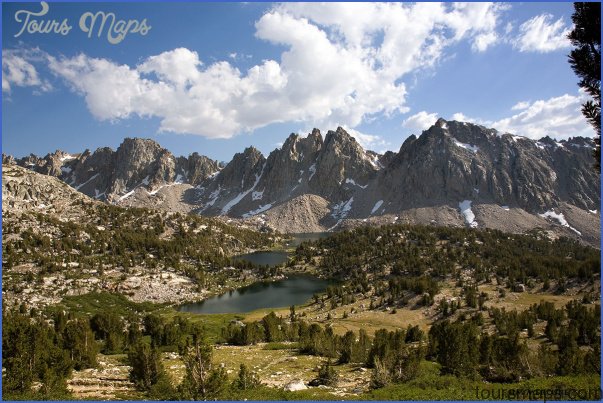
JOHN MUIR TRAIL MAP CALIFORNIA
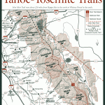
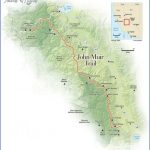
210 miles. Running from Yosemite Valley in Yosemite National Park to 14,495-foot Mount Whitney in Sequoia National Park, the John Muir Trail is undoubtedly one of our most spectacular wilderness trails. It’s the longest trail in the country which isn’t crossed by a single road.
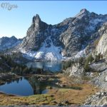
Generally remaining at high elevations, the trail passes splendid peaks and a great many lakes, and offers fantastic views along the way. Much of the route is also utilized by the Pacific Crest Trail. Some segments are extremely strenuous.
Camping Regulations: A wilderness permit must be obtained from one of the National Park offices in order to camp along the trail. Some primitive campsites are available, but camping is allowed elsewhere as well along most of the trail.
Campfires are generally permitted below 9,600 feet elevation in Yosemite National Park, below
10,000 feet in Kings Canyon National Park, and below 11,200 feet in Sequoia National Park. A stove is recommended for cooking.
Campsites should be well off the trail and away from water sources and vegetation. Some areas are closed to camping. See the listings for Yosemite National Park as well as Sequoia and Kings Canyon National Parks for complete camping regulations.
For Further Information: Guide to the John Muir TrailWinnett, Thomas. Berkeley, CA: Wilderness Press, 1984.
JOHN MUIR TRAIL MAP CALIFORNIA Photo Gallery
Maybe You Like Them Too
- Explore Góra Kalwaria, Poland with this detailed map
- Explore Gumdag, Turkmenistan with this detailed map
- Explore Telfes im Stubai, Austria with this detailed map
- Explore Langenselbold, Germany with this detailed map
- Explore Krotoszyn, Poland with this detailed map

