This worthwhile drive explores the hidden world of the Tobacco Root Mountains, a burly range that’s relatively unappreciated compared to the nearby Madison, Pioneer, and Pintler Mountains, despite its raw beauty and 43 peaks towering above 10,000 feet many of them still unnamed.
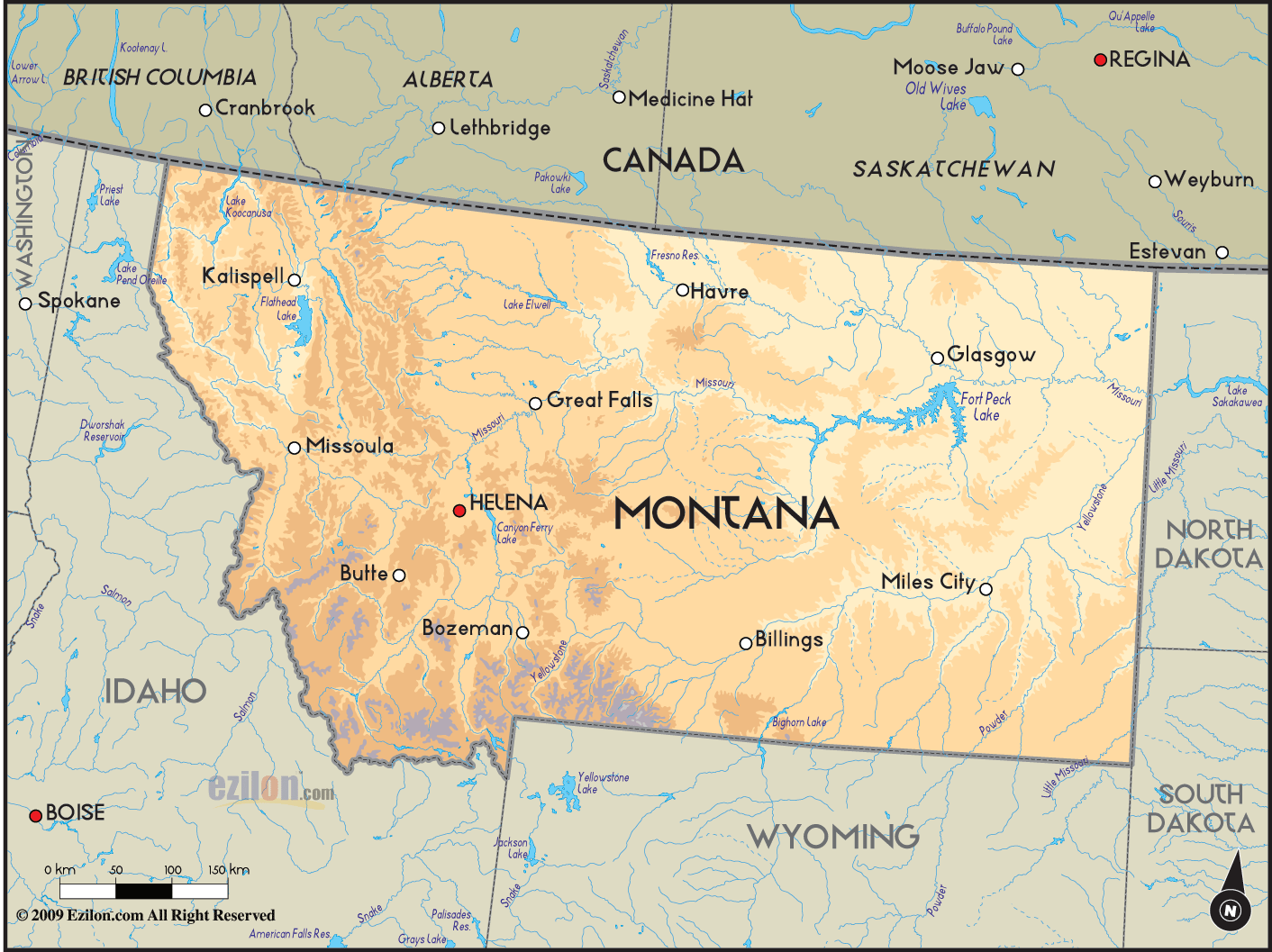
Few remote areas offer a better glimpse of Montana’s mining past than the Tobacco Roots, which are littered with rusting equipment from the pick-and-shovel days. Pony is an old gold-mining town of about 100 families clinging to the Tobacco Roots’ northeastern foothills, and the South Boulder Road pierces the heart of the range, providing trail access to sparkling lakes, cirques and other high-mountain gems.
From the Vigilante Trail, leave US 287 at Harrison and head southwest on MT 283 about 6 miles to Pony, which boasts a great bar, a vacant bank building that bustled when the town’s population topped 5,000, a century-old church popular for weddings, and 10,604-foot Hollowtop Mountain highest in the Tobacco Roots rising like a sentinel in the background.
After quenching your thirst in Pony, turn north past the church and brick school to the graveled Johnson Road for an undulating drive through ranchlands. Weathered old homesteads with little sound but the wind and startled pigeons leave stories of a bygone era to your imagination. At a pronounced dip in the route, head west on Carmichael Road toward the mountains. You’ll come across little more than cows, deer, and wildflowers until you reach the Judson Mead Geologic Field Station of Indiana University on the pretty little South Fork of the Boulder River. Cross the stream and go left on the gravel South Boulder Road. The road soon provides grand views of the inner workings of the Tobacco Roots and is easily navigated here, but after Mammoth, a one-time mining community that’s mostly summer homes for Jefferson Valley residents today, it deteriorates noticeably. Eventually you’ll arrive at a fork in the road that requires one of three
Decisions: take the right fork about 4 more rugged miles to the Brannan Lakes area, the left fork about 2 even-bouncier miles to the Louise Lake Trailhead, or head back down the road toward meetings with the Vigilante Trail at Cardwell.
VESTIGES OF THE HOMESTEAD ERA IN SOUTHWEST MONTANA DOT THE LANDSCAPE NEAR THE OLD MINING TOWN OF PONY Fishing for brook and cutthroat trout in the upper South Boulder is entertaining, though holes holding fish more than 8 inches long are scarce.
Upstream is man-made Hebgen Lake, a boating and fishing favorite. Along the north shore of the lake, the Hebgen Lake Mountain Inn is a comfortable place to put your feet up for the night, and the Happy Hour Bar & Restaurant has deceptively good dining for a place with a well-earned, raunchy reputation. In a few miles, US 287 meets up with US 191 for the 9-mile drive into the town of West Yellowstone.
MONTANA MAP USA Photo Gallery
Maybe You Like Them Too
- The Best Cities To Visit in The World
- World’s 10 Best Places To Visit
- Coolest Countries in the World to Visit
- Travel to Santorini, Greece
- Map of Barbados – Holiday in Barbados

