Province: Orebro Ian. Region: Varmland.
Altitude: 45 m (148 ft). Population: 72,000.
Postal code: S-65 Telephone code: 0 54. uristinformation,
Bibliotekshuset,
Vastra Torggatan 26,
S-65224 Karlstad; tel. 10 03 45.
HOTELS. Stadshotellet, Kungsgatan 22,250 SP; Grand Hotel, Vastra Torggatan 8, 111 Savoy, Vastra Torggatan 1A, 130 OK Motorhotell, Ostra Infarten, 210 SP; Ritz, Vastra Torggatan 20,100 Gosta Berling, Drottningsgatan 1,110 Esso Motor Hotel, Sandbacksgatan 6, 195 bž SP. YOUTH HOSTEL
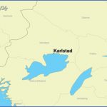
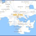
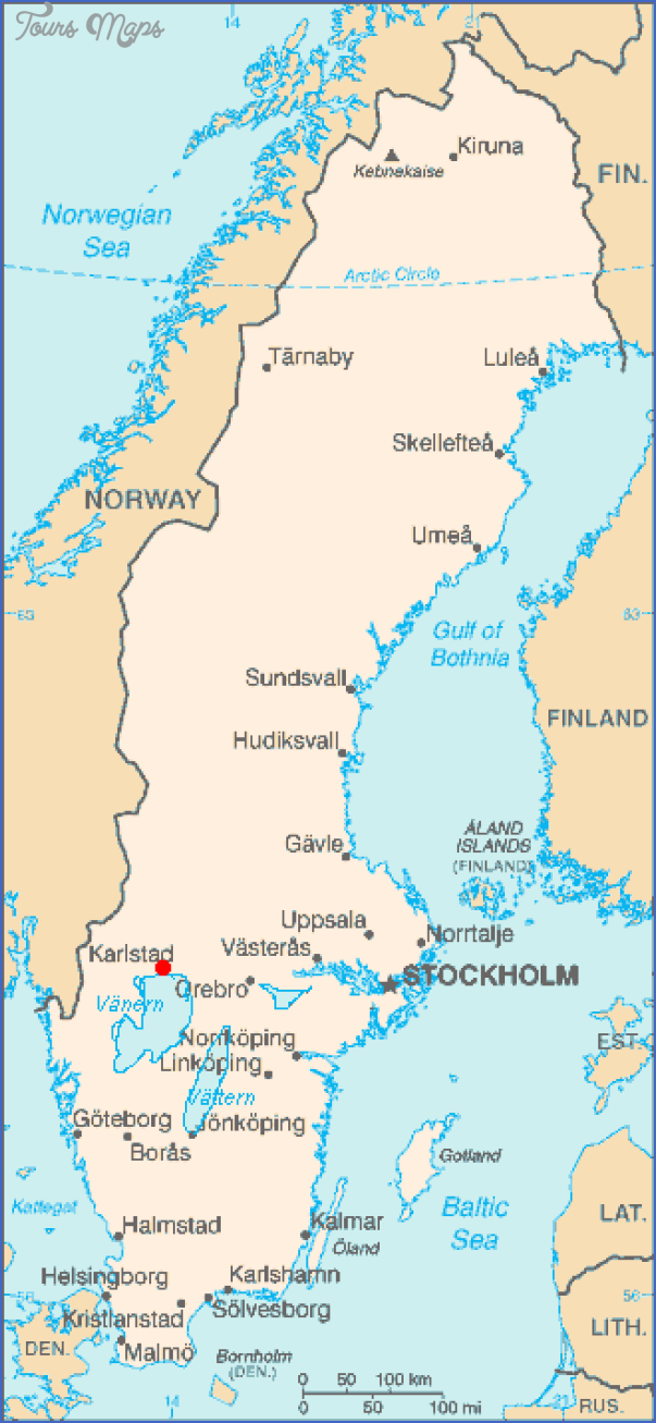
Karlstad, the cultural and commercial hub of Varmland, capital of its province and the see of a bishop, lies in the delta of the Klaralv, at the point where the river flows into Lake Vanern after its course of 500 km (300 miles). The town is named after Charles IX, who, in 1584, granted a municipal charter to the settlement on the island of Tingvalla. It had existed since the early Middle Ages as a trading station and place of assembly. The negotiations on the dissolution of the union between Sweden and Norway took place here in 1905. Karlstad is an important industrial town (mainly woodworking) as well as an administrative capital.
Old Rosenbom, Karlskrona
Picasso sculpture, Kristinehamn
SIGHTS. Alvgatan, a street of old burghers’ houses, is a remnant of the older town which survived a great fire in 1865. The Cathedral (1723-30) and Bishop’s House (1780) date from the same period. In the Stora Torg is a Peace Monument by Ivar Johnsson. It commemorates the dissolution of the Swedish-Norwegian union in 1905. On the W side of the square is the Town Hall (1869). A little way E, in Kungsgatan, stands the Old Grammar School, in its day one of the handsomest school buildings in Sweden; it now houses the Diocesan Library. In Residenstorg, to the W of the Stora Torg, is the Governor’s residence, and in front of it a bronze statue of Charles IX (1926). Farther SW is the Town House (1963). Also to the SW of the town in Marienbergsskogen, a layout which includes a wildlife park, an open-air museum, a theatre and an amusement park.
To the N of the town extends Sandgrund Park in which is situated the Ifarmland Museum (art, local history; special exhibitions on topical themes). To the NE the Klaralv is spanned by the Ostra Bro, the longest stone bridge in Sweden, with 12 arches (1761 70). One of the sights of Karlstad, especially in the spring, is to see the rafts containing thousands of logs travelling down the Klaralv.
SURROUNDINGS. 8 km (5 miles) SW, on a peninsula projecting into Lake Vanern, is Skoghall, with timber stores, sawmills and cellulose and other factories. 5 km (3 miles) E of Skoghall is the old wooden church of Hammard (medieval paintings, tabernacle and shrine).
At Aster, 6 km (4 miles) N of Karlstad, the manor-house (Alster HerregSrd) was the place where the well-known lyric poet Gustav Froding (1860-1911) lived as a child. In a grove on the estate can be seen the Froding Stone. 45 km (28 miles) E of Karlstad, on Lake Vanern, is the little port of Kristinehamn ( 285), with a 15 m (50 ft) high sculpture by Picasso.
To the Fryken Lakes. Leave Karlstad on Road 61, which runs along the right bank of the Klaralv through mostly wooded country. In 13 km (8 miles) the road passes a small lake (on left) and then comes to a junction at which Road 61 bears left, while Road 62, to the right, continues up the Klaralv valley. 7-5 km (5 miles) farther along Road 61 a side road goes off on the left and runs SW (3 km 2 miles) to Kii, an important railway junction (line N to Torsby).
Road 61 now comes to the S end of the chain of three Fryken Lakes (alt. 62 m (203 ft); total length 71 km (45 miles); boat trips), in a region familiar to readers of Selma Lagerlof’s novel, Gosta Berling. It passes the church of St Kil (on right), then, 6-5 km (4 miles) from the turning for Kil station, crosses the Norsav, the river which drains the Fryken Lakes, and comes to another fork. Here, we turn right into Road 234, which runs up the pleasant Fryksdal, passing several farms and small lakes. Off the road to the W is Frykerud church (1799; modern stained glass).
In another 25 km (15 miles) the road reaches Vastra Amtervik, a village above the Mellan Fryken (Middle Lake Fryken: 27 km (17 miles) long). Opposite the village, on the E side of the lake, stands the church of Ostra Amtervik. 1 km (about a mile) beyond the Vastra Amtervik church, a country road (SP Arvika) goes off on the left and climbs towards the Kringeras (272 m 892 ft), with magnificent views over the Fryksdal (rewarding detour, about 5 km 3 miles).
The main road continues at some distance from the shore of the lake, and in another 6-5 km (4 miles) crosses the Rottnaalv, which links Mellan Fryken with the beautiful Lake Rottnen (Finnfallet skiing area). Soon after this, the road comes to Rottneros and, beyond this (on right), the manor-house of the same name, the Ekeby of Gosta Berling, set in a beautiful park (large collection of sculpture; main block rebuilt after a fire in 1929). 5-5 km (Similes) beyond this is Sunne (LansmansgSrden Hotel, 65 Gastis, 70 b.), the Broby of Gosta Berling, a pleasant industrial town which attracts many summer visitors; it is set on the channel between the Middle and Upper Lakes Fryken; church of 1888 above the village. 9 km (5 miles) SE is the manor-house of Marbacka (now owned by a foundation and open to the public), the former home of Selma Lagerlof (1858-1940), who is buried in the Ostra Amtervik churchyard, 6 km (4 miles) SW.
From Sunne there are two possible routes to Torsby either on Road 234 along the E side of the forest-fringed Ovra Fryken (Upper Lake Fryken), via Lysvik (distance 41 km 25 miles) or (preferably) on a country road along the W side of the lake, passing the manor-house of Stopfors (14 km 19 miles) and the hill of Tassebergsklatten (342 m (1122 ft): views).
Karlstad Sweden Map Photo Gallery
Maybe You Like Them Too
- The Best Cities To Visit in The World
- World’s 10 Best Places To Visit
- Coolest Countries in the World to Visit
- Travel to Santorini, Greece
- Map of Barbados – Holiday in Barbados

