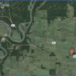
Location: 42 km, or about 40 minutes, from Barrhead. Exit Barrhead on Hwy 33 north, turn right at Hwy 16. Travel 1.6 km and then turn left at Hwy 769 (8 km west of Vega along Hwy 661).
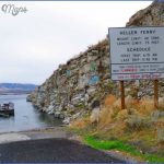
Info: The ferry operates from April though October, and an ice bridge is available for winter crossing. 780-674-3331.
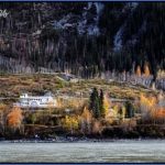
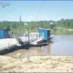
One of only seven remaining ferries in Alberta, the cabled Klondike Ferry near Vega crosses the Athabasca River into Fort Assiniboine Sandhills Wildland Provincial Parkan area with many hiking and cycling trails to explore. A conserved natural and historical area, Klondike Ferry Park is a nice place to stop for a picnic and a scenic walk or bike ride. A sheltered cooking site is available, as are outdoor toilets.
WESTLOCK-BARRHEAD LOOP
Westlock and Barrhead are 42 kilometres, or about 34 minutes, apart. The first stop is the growing agricultural community of Westlock, with museums, parks, and the Edmonton Skydive Centre, where you may well see parachutists in action. The Barrhead portion of the loop takes you near the Klondike Trail and to sand dunes and one of the few ferries on the prairies.
Exit Westlock on Highway 18. Turn left at the Highway 33 junction to remain on Highway 18 to Barrhead.
Klondike Ferry Crossing Map Photo Gallery
Maybe You Like Them Too
- The Best Cities To Visit in The World
- World’s 10 Best Places To Visit
- Coolest Countries in the World to Visit
- Travel to Santorini, Greece
- Map of Barbados – Holiday in Barbados

