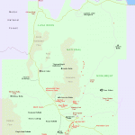
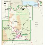
LAVA BEDS NATIONAL MONUMENT MAP CALIFORNIA
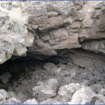
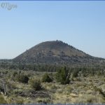
6,239 acres. Lava Beds National Monument is located in northern California, near the Oregon border. It offers a volcanic landscape of lava fields, craters, cinder cones, and nearly 200 lava tubes (caves), with 28,460 acres designated as wilderness.
There are some grasslands and areas of sagebrush, along with stands of ponderosa pine and juniper. Wildlife in the National Monument includes mule deer, mountain lion, and coyote.
Activities: Backpacking and hiking are possible on over 25 miles of trails. Off-trail travel is often difficult. Horses are permitted on three of the trails. Bikes are allowed only on roads.
Caving (spelunking) is available in a large number of underground caves. Registration at the visitor center is recommended before engaging in this activity.
Camping Regulations: Camping is allowed in the backcountry of this National Monument. A free wilderness permit must be obtained from the visitor center.
Campsites must be at least one-quarter mile from trails and roads. Campfires are prohibited, so one should bring a stove in order to cook. Water must be carried in. Pets are not permitted.
For Further Information: Lava Beds National Monument, P.O. Box 867, Tulelake, CA 96134; (916)667-2282.
LAVA BEDS NATIONAL MONUMENT MAP CALIFORNIA Photo Gallery
Maybe You Like Them Too
- Arnold A Town with a Heart
- The Best Cities To Visit in The World
- World’s 10 Best Places To Visit
- Map of New York City – New York City Guide And Statistics
- Map of San Francisco – San Francisco Map Free

