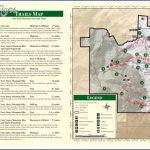
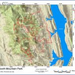
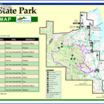
LORY STATE PARK MAP COLORADO
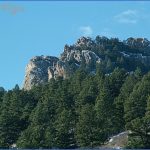
2,479 acres. Located in the foothills of the Rockies in northern Colorado, Lory State Park includes grasslands and a ponderosa pine forest. Mule deer, black bear, and mountain lion are among the wildlife.
Activities: There are about 30 miles of trails for hiking and backpacking. Difficulty varies from easy to strenuous. Horses are allowed on many trails. Cross-country skiing is available in winter. Hunting is permitted in season.
Camping Regulations: Backcountry camping is limited to several designated sites. A permit is required, and may be obtained from the park entrance station. No campfires are allowed, so a stove is necessary for cooking.
For Further Information: Lory State Park, 708 Lodgepole Drive, Bellevue, CO 80512; (303)493-1623.
LORY STATE PARK MAP COLORADO Photo Gallery
Maybe You Like Them Too
- Arnold A Town with a Heart
- The Best Cities To Visit in The World
- World’s 10 Best Places To Visit
- Map of New York City – New York City Guide And Statistics
- Map of San Francisco – San Francisco Map Free

