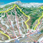
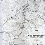
MOUNT MANSFIELD STATE FOREST MAP VERMONT
Consisting of 11 blocks of land in northern Vermont, this sizable state forest is home to 4,393-foot Mount Mansfield, Vermont’s highest and most massive mountain, which takes the shape of a human face in profile.
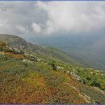
Terrain near the top is incredibly rocky and rugged, with substantial areas of artic-alpine vegetation. On clear days the views are magnificent. Visitors are many, due mainly to an auto road which ends just short of the summit.
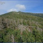
The region is forested with hardwoods as well as conifers, including spruce, fir, and pine. There are also some streams and ponds. Among the wildlife are white-tailed deer, black bear, moose, bobcat, and fox.
Activities: A large network of trails is available on the mountain for hiking or backpacking, including a section of the Long Trail (see entry page 282). Difficulty ranges from easy to very strenuous. Some other trails in the forest are marked for cross-country skiing. Fishing is also possible, and hunting is permitted in season.
Camping Regulations: Several established campsites, including lean-tos and closed cabins, are located along the Long Trail. Camping is allowed elsewhere as well, but only at elevations below 2,500 feet. Campfires are permitted.
Nondesignated campsites must be at least 2,500 feet from roads and shelters, 200 feet from trails or property lines, and 100 feet from water sources. Maximum stay allowed in one location is three nights. Some areas in the forest are off-limits to camping.
For Further Information: Mount Mansfield State Forest, RFD, Stowe, VT 05672; (802)253-4014.
MOUNT MANSFIELD STATE FOREST MAP VERMONT Photo Gallery
Maybe You Like Them Too
- Arnold A Town with a Heart
- The Best Cities To Visit in The World
- World’s 10 Best Places To Visit
- Map of New York City – New York City Guide And Statistics
- Map of San Francisco – San Francisco Map Free

