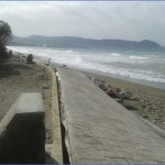
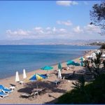
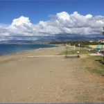
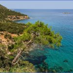
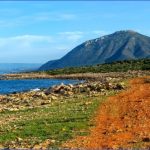
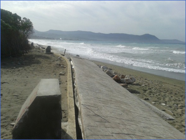
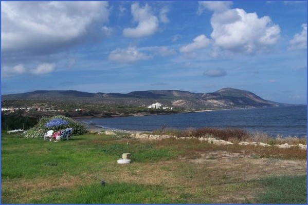
Western Chrysochou beach
The western coastal plain of Chrysochou
Route: Prodromi, Latsi, Neo Chorio
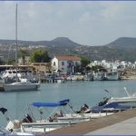
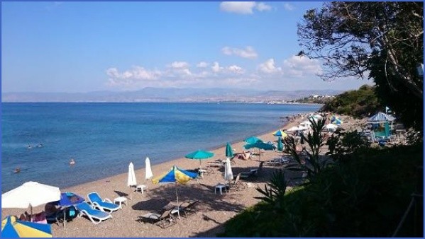
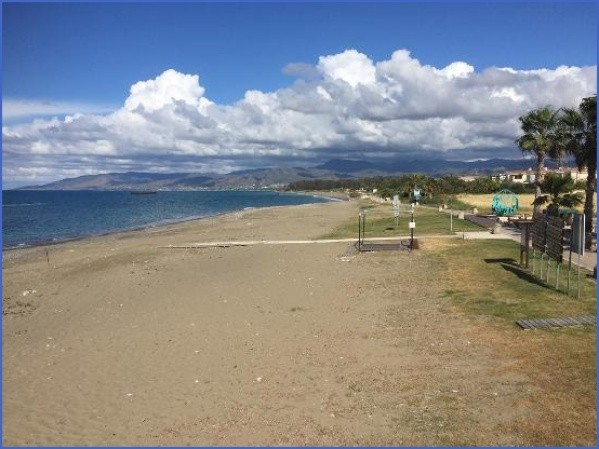
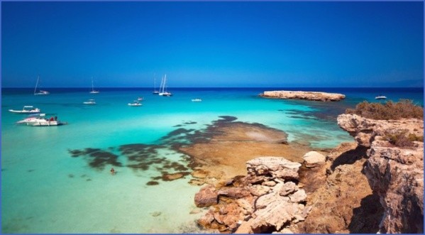
Prodromi. Prodromi is no longer an independent settlement but a suburb of the ever-increasing Polis, falling within its municipality boundaries. Hotels and tourist apartments are being built and tavernas are being set up, as are supermarkets and other tourist services. In an effort to beautify the village and its surroundings, the original fountain, close to the center of the village, has been restored. The church of Venethkiotisa, now on the administrative boundaries of Prodromi-Polis, is possibly medieval. Only the foundations of the ancient church have survived, since the building has been completely renovated. Latsi. The picturesque harbour of Latsi has a horseshoe shape, with two small lighthouses with a wooden pier about 45 metres long towards the center. West of the bay, there are the remains of an old construction which obviously pre-existed the jetty found there today. Even if the wooden jetty was put up during the British rule, the old jetty dates to the Turkish occupation; perhaps it even dates from previous historical eras. Currently, the carob warehouses have been turned into restaurants and hotels. The beach to the west of the harbour has become a sought-after swimming area. Furthermore, Latsi has a Diving School for those who wish to learn or exercise. A special boat from Latsi can take the tourists on a tour round the beautiful Akamas beaches up to Fontana Amorosa and even further on. A large number of restaurants, souvenir shops and other shops cater for the tourists. Neo Chorio lies on a hilltop enjoying a wonderful view of Chrysochou Bay with a relatively easy approach to Akamas forest. A great part of Akamas is included in the administrative boundaries of Neo Chorio. The area’s folklore is remarkable, with the legends of Digenis and Rigaina. At the Baths of Aphrodite (Loutra tis Afroditis) the queen would bathe and cleanse her body from the salty waters of the neighbouring sea. This is where Adonis first laid eyes on her. Further on lies the Spring of Eros, Fontana Amorosa which is described in another route of this guide (see Akamas Region-2).
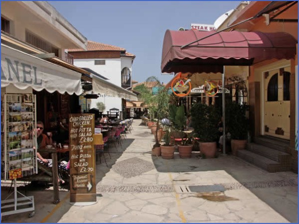
Polis – Latchi – The Ultimate Guide for the Chrysochou Photo Gallery
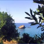
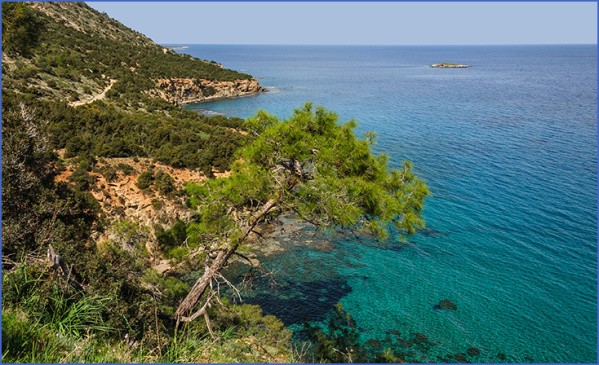
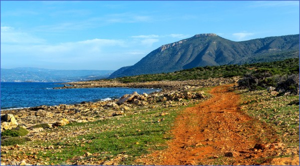
A unique view of eastern Akamas coastline
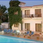
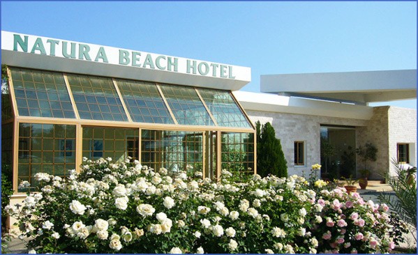
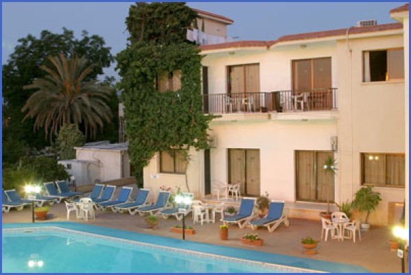
Chriseleni Latchi Villas, Polis Chrysochous, Cyprus
EXPLORING THE NORTH-WESTERN PART OF PAFOS
DISTRICT
a) Laona villages
Route: Kathikas, Akoursos, Theletra, Pano Arodes, Avakas Gorge, Kato Arodes, Ineia, Drouseia, Kritou Tera, Tera, Pittokopos, Fasli, Androlikou
Grape harvest, Kathikas
The Laona plateau extends from Stroumpi via Kathikas, Arodes, Ineia, Drouseia to Neo Chorio (southern part) and includes Kritou Tera, Tera, Androlykou, Fasli and Akoursos. It reaches a height of 670m having as frontiers the valley of Chrysochou to the east and Akamas forest as well as the narrow coastal plain of Pafos, to the west. Kathikas is situated in the southern part of the Laona plateau, and can be visited from Pafos town through Pegeia or Stroumpi. It is surrounded by vineyards, which constitute the principal income of the village. Though there is no evidence that Kathikas existed as a medieval settlement, nevertheless Hellenistic tombs have been unearthed, while the well-known circular Roman road passed through the village.
The wines of Kathikas were known for their taste. Among those who extolled Kathikas wines was Gaudry, in 1855, who wrote that the village produced “excellent red wines”. Akoursos, a small village south of Kathikas, can be visited either through an asphalted road lying between Kisonerga-Pegeia or via an earthen road from Kathikas. Akoursos belonged to the Grand Commandery, though it might have been a Byzantine or earlier settlement. Probably the most noteworthy feature is a hollow on a vertical cliff close to the village. The hollow looks like the encleistra of Agios Neofytos monastery. According to tradition, the cave communicates with two others in which frescoes of Agioi Konstantinos and Eleni can be seen. Theletra can be approached either through the Stroumpi-Polis road or via the new asphalted road from Kathikas. The old settlement, at the base of a cliff, preserves its charm with its stone-built, arched, two-storeyed houses and its meandering streets. The landslides were the main reason for Theletra’s removal to a new location on a flat surface of land, not far away. The modern settlement, as it is obvious, is planned with the uniform houses arrayed on both sides of the roads. The old church of Panagia (Madonna) Chryseleousa, a building of 1755, contains a few old portable icons like that of Christ of 1528 and Panagia Theletrofylaktria of the 16th century. Pano Arodes lies in the middle of the Laona plateau with an abundant view to the west as well as to the east. The varied rocks have affected the village’s topography with the formation of spectacular gorges, karst phenomena, and undulating chalky hills. The main agricultural product is grapes, particularly the white variety.
Women on their way to the olive-mill to grind the flour for the preparation of special wedding pastry
An old wine-press, established on a limestone outcrop in the middle of a vine-producing area, is still preserved, constituting a site of interest. The village, judging from the archaeological findings, dates back to the Mycenean era. The settlement lies on an ancient necropolis. Medieval Cypriot historian Leontios Machairas refers to Saints Kalandion, Agapios and Varlaam, Alaman saints, who settled in the village possibly during the 12th century. The parish church is dedicated to Agios Kalandion, while north and south of the church stand two sargophagoi, that of Agios Agapitikos and that of Agios Misitikos. Most probably the two sargophagoi belong to Agios Agapios and Agios Varlaam. A tradition exists according to which if somebody wishes to win the love or the hatred of a person, he or she should come secretly at night and chip a tiny fragment of the sargophagus of Agios Agapitikos or Agios Misitikos. It is later powdered and introduced into the drink of the person one wishes to love or hate. It is said that there will always be an immediate response to the donor’s feelings. The holy well of St Kalandion, a kilometre outside the village, in a pleasant and quiet site, has recently been restored. The water is miraculous for skin diseases. About 3km east of Pano Arodes lies the chapel of Panagia (Madonna) Chrysospiliotissa. There is a modern chapel built in 1947, restored in 1993, and an underground Roman tomb below the limestone outcrop, which later was transformed to a church with mural paintings. Currently only traces of frescoes exist. The chapel is most probably the last remnant of the old settlement of Themokrini, appearing on many Venetian maps and cited by Mas Latrie as a royal estate during the Frankish period. It is also cited by Florio Bustron as a royal estate between 1383 and 1385. A beautiful folk poem is still preserved in the village concerning a very pretty girl, daughter of Themokrini’s priest, who was seized by the Turks to be transported to the Sultan’s harem in Constantinople. The Avakas Gorge. The Avakas river starts in Arodes and ends up at Toxeftra. The gorge is the combined product of valley deepening by the running water on the limestone rocks, the rising of the land in relation to the sea and the subsequent rejuvenation of the river system by vertically deepening the pre-existing river valley. If a visitor wishes to explore the two kilometre gorge, walking is recommended from Koloni (Arodes). If however, one wishes to see the mouth of the gorge only, then the visit can be accomplished from Toxeftra in Pegeia, near the sea. Exploring the gorge from Arodes, one can walk along the deep, steep-sided valley with cliffs on both sides, somewhere reaching the height of almost a hundred metres. Huge rocks, dropped from the sides, block the valley, while elsewhere the water of the stream disappears to reappear further west. You encounter arches and caves, while some hollows on the bed fill with water even in summer. There is a rich variety of flora and fauna. In the past vultures lived on the steep limestone cliffs, but have now abandoned the place. Suitable boots are required as well as a camera. The exploration of the gorge is not recommended in winter months when the river is impassable. Kato Arodes until 1975 was inhabited by Turkish Cypriots who relied on dry-fed crops. Most probably until the Venetian period Kato Arodes was lying where Kato Aroa (place-name) exists today, west of Pano Arodes. The settlement was abandoned and a new one was set up exactly where presently Kato Arodes lies.
Currently, only a few refugee families live in Kato Arodes, while the decision of the Government to restore some houses and use them for holiday purposes, has attracted quite a few Cypriots to the settlement. Ineia. The view from the village, especially from the hill of St George, (670m a.s.l.) is boundless. According to Jeffery an observatory existed here in the 16th century. The village of Ineia, though not very fertile and productive, belonged to the Grand Commandery which had its headquarters at Kolossi. Near the sea, stock-breeders from Ineia, exercising transhumance, set up, in the past, makeshift dwellings to satisfy their needs in winter, when they used to move to warmer coastal areas. Close to their makeshift dwellings stand the well-known “Karavopetres”, which are tall, isolated rocks in the sea close to the coast. According to tradition, close to “Karavopetres”, stood the monastery of Vlou (Tyflou). Currently, only a chapel stands at the place of the old monastery. When the monastery was looted and utterly destroyed by the corsairs, the Madonna, according to tradition, not tolerating the contempt, transformed the ships into rocks which now stand fossilized in the sea. Within the administrative boundaries of Ineia lie the Lara “Salt-lake”, the beaches of Lara and Ammoudi, as well as the turtle hatchery of Lara. Drouseia is rich in physical and cultural landforms and monuments. Few huge rocks of past geological eras are scattered in its landscape. The traditional architecture is very rich with a few old peasants still wearing traditional “vraka” (baggy breeches), while among the village craftsmen is a coppersmith. Within the administrative boundaries of Drouseia lie Kioni, and Agios Konon church, one of 101 churches that, according to tradition, used to function in the past in the region of Akamas. On the eastern side of Drouseia lies the ancient monastery of Agios Georgios Nikoxylitis, most probably of the 15th century surrounded by abundant greenery, particularly tall cypress-trees. The cells are ruined, while the arched dome of the church with its carved relief is preserved. Some portable icons have been transported to the parish church of Drouseia, while others are hosted in the Byzantine Museum of Pafos. In 1923 it was destroyed by fire and since then rebuilt. The hotel of Drouseia, “Droushia Heights” gives the opportunity to both Cypriots and foreigners alike to acquaint themselves with the rich and varied physical and cultural heritage of the village. Kritou Tera. In the past people from Kritou Tera increased their income by engaging themselves in artistic and handicraft activities, like chair-making, saddle-making, etc. Carob honey sweets, often covered with sesame, are a prerogative of the village. Dragoman Hadjigeorgakis Kornesios, known as a distinguished Cypriot personality at the end of the 18th and the beginning of the 19th century, was born in Kritou Tera.
The church of Agia Aikaterini (Fitefkias), Kritou Tera
His family house still exists, whilst the church of Chryseleousa, built by Kornesios at the beginning of the 19th century, is currently the parish church of the community. In Kritou Tera is preserved the first casino of Cyprus, a two-storeyed building with an arch, now declared an ancient monument. The casino was a coffee-shop with gambling as its principal activity. Dancers from abroad, particularly from Smyrni and Adana entertained the players. The few paintings preserved, most probably belong to the last century. North east of Kritou Tera stands the church of Agia Aikaterini (Fitefkias), a pole of attraction for many visitors. It is a three-aisled, Franco-Byzantine church, with a dome on the central aisle. The arches separating the aisle stand on bulky bases. Originally the church was painted throughout particularly in the interior. Currently, only some traces of the original mural paintings are preserved. The traditional fountain with six outlets and the relics of some old water mills are some additional sites of interest in Kritou. As from 1995 an Environmental
Studies Center functions at the village. Tera, North and close to Kritou Tera, lies the deserted Turkish Cypriot settlement of Tera. It is remarkable that in the environs of Tera, a milestone of the Roman road connecting Pafos to Mario (Polis) was found. Pittokopos. A few inhabitants from nearby settlements, set up the hamlet of Pittokopos, lying off the Drouseia-Fasli road, currently almost abandoned. Fasli, north-west of Drouseia, is an abandoned settlement. Androlikou. The radial morphology of the settlement is almost unique in Cyprus. From the center of the village, where the mosque stands, six streets radiate to all directions. As Gunnis writes, the mosque “is built on the site of the church of St Andronikos”.
Maybe You Like Them Too
- Top 10 Islands You Can Buy
- Top 10 Underrated Asian Cities 2023
- Top 10 Reasons Upsizing Will Be a Huge Travel Trend
- Top 10 Scuba Diving Destinations
- World’s 10 Best Places To Visit

