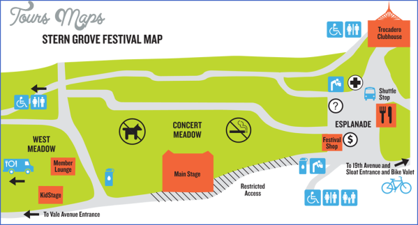
What’s Best: A serene, small lake tucked away off two busy streets in the Sunset District, with easy paths through forest and glade. The Grove’s amphitheater hosts a popular concert series.
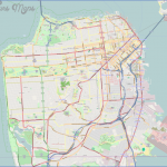
Parking: From the Golden Gate Bridge take Hwy. 1, which is 19th Ave. Continue south through Golden Gate Park to Sloat Blvd, which is Hwy. 35. Turn right on Sloat and make an immediate right into Stern Grove. Follow road down about .5 ml. to parking area. Agency: San Francisco Recreation and Park Department
STERN GROVE MAP SAN FRANCISCO Photo Gallery
Stern Grove office
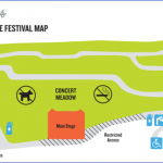
Check out the historic Stern Grove office set among redwoods just above the parking area, the locale of a 1906 shoot-out involving the city’s mayor. Bullet holes still remain in the front door. Proceed to Pine Lake Park on part of the Bay Area Ridge Trail by taking the path that begins to the right of the sign for the Rhoda Goldman Concert Meadow.
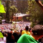
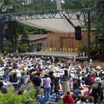
Go west just above the meadow through the terraces that provide rustic viewing spots during concerts (free music festival every summer since 1938).
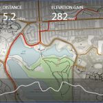
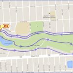
In less than .5-mile you drop down into the parking area for the park, a popular dog exercise spot. Continue on a path through the large grass field. At the end of the field you reach marshy Laguna Puerca. Keep right on the trail that takes you on the short loop around the lake proceeding back to Stern Grove.
Bike: With ‘only’ 33 acres, Stern Grove is too small to bike within, but two cross-city routes intersect here: Bike Route 75, which goes north along 20th Avenue to Golden Gate Park and south toward San Francisco State University; and Bike Route 60, which, westbound, follows Vincente to the Great Highway at the coast. Go north a short distance on Bike Route 75 and you will intersect Route 60.
Maybe You Like Them Too
- Arnold A Town with a Heart
- Map of New York City – New York City Guide And Statistics
- Map of San Francisco – San Francisco Map Free
- Coolest Countries in the World to Visit
- The 10 Best American National Parks to Visit

