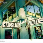
What’s Best: A whiff of Flower Power (or is that pot?) lingers at San Francisco’s famous intersection. Nearby are two parks with city views and an excellent children’s museum.
HAIGHT ASHBURY MAP SAN FRANCISCO Photo Gallery
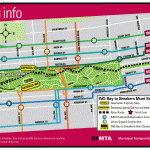
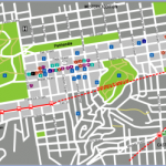
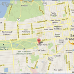
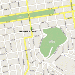
Parking: From the north or south, take Highway 1, which is 19th Ave, to Fulton St. on the north border of Golden Gate Park. Turn east on Fulton. Note: Traveling south, you can’t turn left off 19th Ave.; turn right on Cabrillo, the street before Fulton, and then make two lefts in order to cross 19th Ave. on Fulton. Head about a mile east on Fulton and turn right on Stanyan St. Go 4 blocks to Haight St. and park you may have to park in the vicinity and walk to the corner of Haight and Stanyan to begin the stroll. Agency: San Francisco Recreation and Park Department
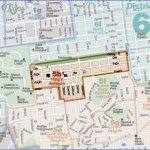
Walk: Haight Ashbury and Panhandle loop (1.25 ml.); Haight Ashbury, Buena Vista Park and Corona Heights loop (2.75 ml.)
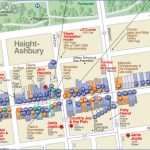
All strolls begin at historic Alvord Lake Bridge, a pond and small park that is the tunnel entrance to the east end of Golden Gate Park. This is the oldest roadway tunnel in California. Cross Stanyan and proceed up Haight Street. The block was once home to the Grateful Dead, Janis Joplin and Jefferson
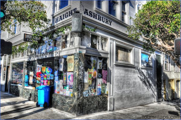
Airplane. The Haight still resonates sixties themes, with colorful clubs, ethnic cafes, head shops, used records, tattoo parlors, vintage clothing, and psychedelic junk stores visited by tourists of every stripe and this century’s version of street kids. For the full effect, begin this stroll after noon on weekends; this is not an early-bird type of street. Two blocks past Haight and Ashbury, at Central Avenue, the street scene fades. For the Panhandle loop, go left on Central for two blocks until you hit the Panhandle, a block-wide and .75-mile-long greenbelt tagged on to the east end of Golden Gate Park. Take the bike path to your left, about .5-mile back to Stanyan Street.
Ashbury Victorians
For the Buena Vista and Corona Heights loop, cross Central Street, and then Buena Vista Avenue West. Go up the broad set of concrete stairs, followed by a steep asphalt path. Buena Vista is a hilltop park with several meandering paths, large cypress and eucalyptus trees and, as its name suggests, views of almost all quadrants of the city. Wind your way up to the buena vista, a grassy knoll on top with tree-filtered views. Then head down the utility path on the south side of the knoll to get an enticing glimpse of Corona Heights, a primitive chert crag juxtaposed above the hubbub of upper Market Street. To get there, continue to the corner of Upper Terrace and Buena Vista Avenue. Go down Upper to a quaint, five-street intersection, where you hang a sharp left, downward, on Roosevelt. After one block veer left at Museum Way into the park to your left will be a dog park with city views. Take the path around and up. From the top, you’ll see Sutro Tower due west; Twin Peaks are to the
To the Randall Museum, a favorite among moms with kids of all ages, head down the railroad tie stairs and keep to your right. To get back to the Haight from the children’s museum, head out the front door, turn right and go left down the stairs to a playground below. At States Street, jog right and then immediately left down a short flight of stairs to the top of Douglas Street. Take another short flight of stairs up to your right, which leads to Ord Court and Vulcan go straight across and go up the Vulcan Stairs, about eight flights with landings in between, through the gardens of adjoining homes. At the top, go left on Levant and then right on Lower Terrace. Go right again when you come to busy Roosevelt Street, coming in short order to Loma Vista Terrace, where you veer left. After a short block on Loma Vista Terrace, you’ll run into the top of Masonic go down Masonic, take a left on Piedmont and then your first right on Ashbury. Go down Ashbury back to Haight Street, passing ornate and colorful Victorian homes for which San Francisco is known.
Maybe You Like Them Too
- Arnold A Town with a Heart
- Map of New York City – New York City Guide And Statistics
- Map of San Francisco – San Francisco Map Free
- Coolest Countries in the World to Visit
- The 10 Best American National Parks to Visit

