11000 Topanga Canyon Boulevard
Hiking Distance: 0.7-Mile Outer Loop
Hiking Time: 1 Hour (Allow Extra Time For Exploration)
Configuration: Outer Loop With Several Exploratory Paths Elevation Gain: 100 Feet Difficulty: Easy Exposure: Exposed
Dogs: Allowed (A Popular Place For Dogs)
Maps: U.S.G.S. Oat Mountain
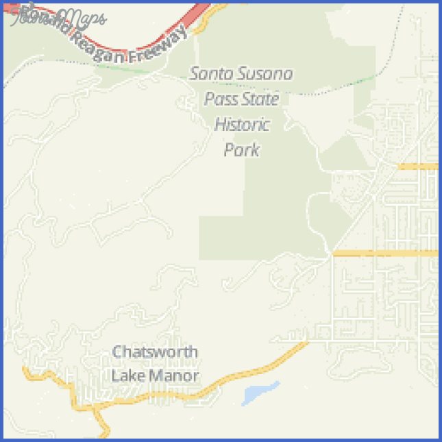
Stoney Point (Also Known As The Stoney Point Outcroppings) Is A Dramatic Sandstone Formation That Rises More Than 300 Feet From The Valley Floor In Chatsworth. The Circular Landmark Is The Centerpiece Of 76-Acre Stoney Point Park. Originally The Site Of An Ancient Indian Village, The Picturesque Formation Was Designated As A Historic-Cultural Landmark In 1974. It Was Also Used By Outlaw Tiburcio Vasquez As A Hideout In The 1870s. From The 1930s Until Today, It Has Been A Popular Climbing And Bouldering Site.
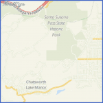
Stoney Point Map Photo Gallery
The Natural Rock Outcropping Is Made Up Of A Maze Of Weather-Carved Boulders That Merge To Form Alcoves, Caves, And Dens. A Wide Hiking Trail Circles The Perimeter Of The Mountain, Weaving Through Large Boulders Dispersed Along Its Base. A Small Stream Trickles Southeast Of The Formation. Numerous Side Paths Lead Up The Cluster Of Boulders To An Endless Display Of Caves. Several Paths Also Head Up To The Summit. Many Hours Can Be Spent Exploring Up, Over, And Around The Exposed Rocks.
To The Trailhead
From Highway 118/Ronald Reagan Freeway In Chatsworth, Exit On Topanga Canyon Boulevard. Drive 0.9 Miles South To Chatsworth Street, Passing The Distinct Stoney Point On The Left. Turn Around And Return 0.3 Miles On Topanga Canyon Boulevard. Park Along The Curb.
The Hike
Walk Past The Vehicle Gate And Descend To The Base Of The Extra Ordinary Mountain. Many Inter Twining Footpaths Weave Up And Around Stoney Point.
Take The Wide (Main) Path, Following The Southern Base Of The Magnificent Formation. Parallel The Small Stream And The Horse Stables Lined With Eucalyptus Trees. Meander Among The Embedded House-Size Boulders, Passing Natural Caves And Alcoves. Continue Along The East Side Of Stoney Point, Passing Endless Routes Into The Finely Etched Rocks And Caves. At The Northeast Corner, By The Railroad Tracks, Curve Left And Climb The Slope Among Additional Outcrops And Access Routes Up The Mountain. Cross Up And Over The Rise, Reaching Topanga Canyon Boulevard By Santa Susana Pass Road. Just Before Reaching The Boulevard, Veer Left Into The Massive Formation And Descend To The Sidewalk Along The Road. For A Loop Back To The Trailhead, Follow The Paved And Gravel Path South, Paralleling The Road For 0.2 Miles.
Maybe You Like Them Too
- Top 10 Islands You Can Buy
- Top 10 Underrated Asian Cities 2023
- Top 10 Reasons Upsizing Will Be a Huge Travel Trend
- Top 10 Scuba Diving Destinations
- World’s 10 Best Places To Visit

