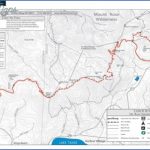
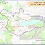
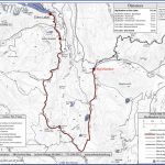
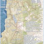
TAHOE RIM TRAIL MAP CALIFORNIA
Currently under construction, this new trail will be about 150 miles long when finished. It encircles huge and spectacular Lake Tahoe, on the California-Nevada border, staying at elevations from over 6,000 feet to 9,600 feet.
Much of the trail has now been completed. Ninety percent is within three National Forests, and it passes through two designated wilderness areas. Small portions are on state park lands. For about 50 miles it coincides with the Pacific Crest Trail.
Terrain in the region is mountainous and generally forested, and there are fine views from the trail. A few sections are rough and rocky. The trail is open to horseback riding and cross-country skiing as well as backpacking and hiking. It’s normally free of snow from May through October.
Camping Regulations: Some primitive campsites are available en route, but on National Forest lands one may generally camp elsewhere as well, except where posted otherwise. Campsites should be well off the trail and away from water sources.
A fire permit is required in California in order to use a stove or build a campfire along the trail. A wilderness permit must also be obtained before entering the Desolation Wilderness.
For Further Information: The Tahoe Rim Trail, P.O. Box 10156, South Lake Tahoe, CA 95731; (916)577-0676.
TAHOE RIM TRAIL MAP CALIFORNIA Photo Gallery
Maybe You Like Them Too
- Explore Pulau Sebang Malaysia with this Detailed Map
- Explore Southgate, Michigan with this detailed map
- Explore Les Accates, France with this Detailed Map
- Explore Góra Kalwaria, Poland with this detailed map
- Explore Gumdag, Turkmenistan with this detailed map

