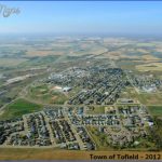
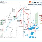
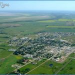
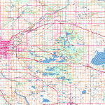
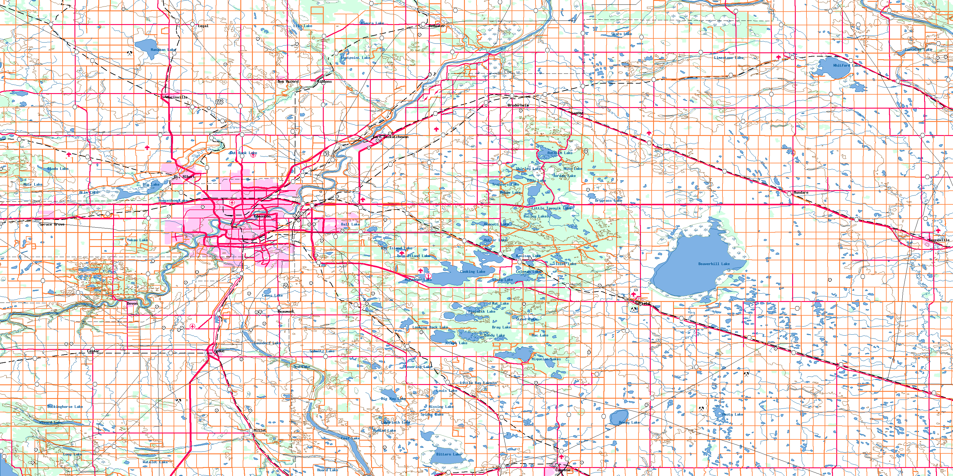
TOFIELD MAP EDMONTON
Directions: Exit Edmonton on Hwy 16 east, take Anthony Henday Drive NW/Hwy 216 south toward Hwy 14 east, and continue on Hwy 14 to Tofield.
Distance: About 57 km, or 51 minutes, southeast of Edmonton.
Info: 780-662-3269; www.tofieldalberta.ca.
Pioneers began arriving in this area around 1886, travelling by cart on old bison trails. The community was named after Dr. J. A. Tofield, an early settler who served in the Riel Rebellion as an army doctor. Born in Yorkshire, England, Tofield was educated as a doctor and engineer at Oxford.
To send and receive mail, early pioneers had to wait until someone happened to ride the trail between Tofield and Edmonton. When the post office opened in 1898, Tofield’s first postmaster earned $12 for his first year of serviceand sold $36 in stamps.
In 1909, Tofield became an incorporated town and acquired its first telephone, providing service from 8:00 a.m. to 8:00 p.m. on weekdays and from 8:00 a.m. to 4:00 p.m. on Sundays (no service on Saturdays).
When the Grand Trunk Pacific Railroad proposed its route through Tofield, the town moved to a new northwest site. Unfortunately, the railroad changed its route, and the town moved again to its present-day location. Residents finally welcomed the railway in 1909.
In 1910, the town drilled for water but discovered natural gas. A temporary boom marked by skyrocketing land prices came to pass, and for a few short years Tofield was enthusiastically dubbed the Hamilton of the west. The boom died by 1913, and subdivisions meant for housing became farmland. The town survived thanks to the railway and its coal industry, comprising two strip mines and one underground mine. At its peak, Tofield Coal employed 100 men and shipped more than
180,000 tons of coal a year.
Now home to 2,182 people, Tofield is perhaps best known for its proximity to the large and shallow Beaverhill Lake situated eight kilometres east. Beaverhill Lake is a collection basin for runoff from the Beaver Hills, which are from 60 to 120 metres higher than the surrounding land. The hills were created when the Keewatin glacier deposited the debris and boulders that form the hills’ knob and kettle landscape. Before European settlers came to the area, Aboriginals lived and hunted in the Beaver Hills, a region rich with bison, bear, moose, deer, and beaver, as well as the thousands of waterfowl drawn to Beaverhill Lake.
Up to 2.5 metres deep or almost completely dry, depending on the year, the 140-square-kilometre lake is a waterfowl staging spot and an internationally recognized Important Bird Area of global significance. It welcomes tens of thousands of migrating birds that rest and feed here before returning to their flight paths. More than 270 bird species have been identified here, including 40 different shorebird species that frequent the lakes’ southern end.
The lake serves more than one percent of the world’s population of greater white-fronted geese, snow geese, pectoral sandpipers, black-bellied sandpipers, and dowitcher species, as well as more than one percent of the national population of American avocets, which breed here. Piping plovers, an endangered species, have also bred at Beaverhill Lake. As a staging area, the lake allows snow geese and greater white-fronted geese to build fat reserves in preparation for the incubation period and migration.
Canada geese return in March, with greater white-fronted geese, snow geese, tundra swans, and numerous duck species following on their tail feathers. Rough-legged and red-tailed hawks, bald eagles, merlins, northern harriers, and northern goshawks arrive next. Peregrine falcons usually pass through between mid- and late April on their way to more northerly destinations.
Annual events include the annual Snow Goose Chase and Spring Nature Festival, always held on the last Saturday in April, to watch the spring migration of snow geese, sandhill cranes, hawks, waterfowl and songbirds. Preregister for Snow Goose Chase public tours (www.snowgoosechase.ca). Although fewer birds are seen in dry years, viewing is still impressive as birds are more concentrated in the wet areas.
Also in April, Tofield holds the Tofield Bull Bash, hosting riders from across North America, New Zealand, and Australia. The Sodbuster Rodeo (held on the first weekend in June), the Canada Day celebration, and the Total Ry-Tof Slo-Pitch Tournament (held on Labour Day weekend) are also regular events.
TOFIELD MAP EDMONTON Photo Gallery
Maybe You Like Them Too
- Explore East Lindfield, Australia with this detailed map
- Explore Bonferraro, Italy with this detailed map
- Explore Doncaster, United Kingdom with this detailed map
- Explore Arroyito, Argentina with this Detailed Map
- Explore Belin, Romania with this detailed map

