THE LONG TRAIL MAP VERMONT
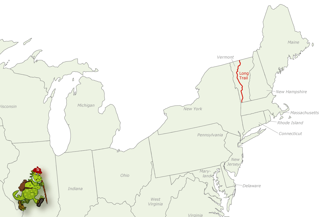
This extremely scenic and well-maintained trail runs the length of Vermont along the spine of the Green Mountains, from Massachusetts to the Canadian border. It’s said to be the oldest long-distance hiking trail in the country.
The Long Trail ascends many of Vermont’s highest mountains, among them 4,393-foot Mount Mansfield and 4,083-foot Camel’s Hump, and it crosses some of the wildest territory in the state.
In the process the trail traverses Green Mountain National Forest, some state lands, and large privately-owned areas. For 98 miles it coincides with the Appalachian Trail.
Difficulty ranges from easy to strenuous. Some sections are quite rugged and strenuous. Group size should be kept to a maximum of 10. The recommended season is June through October.
Camping Regulations: Lean-tos, established tenting areas, and some closed cabins are located at regular intervals along the trail. Camping is limited to these sites where the trail is on private lands, as well as some state lands. At quite a few camping areas a caretaker is on duty, and a small fee is charged.
When the trail is on state forest lands, primitive camping is generally permitted below 2,500 feet elevation. Here sites must also be at least 2,500 feet from roads and shelters, 200 feet from the trail, and 100 feet from water sources.
Within Green Mountain National Forest camping is allowed almost anywhere, with the exception of a few areas where designated sites must be used. Campsites should be at least 100 feet from water sources and 50 feet from the trail.
Campfires are discouraged but allowed at most designated sites, and also elsewhere when on National Forest lands. It’s recommended that a stove be brought for cooking.
For Further Information: The Green Mountain Club, P.O. Box 889, Montpelier, VT 05602;(802)223-3463.
THE LONG TRAIL MAP VERMONT Photo Gallery
Maybe You Like Them Too
- Arnold A Town with a Heart
- The Best Cities To Visit in The World
- World’s 10 Best Places To Visit
- Map of New York City – New York City Guide And Statistics
- Map of San Francisco – San Francisco Map Free

