CENTENNIAL TRAIL MAP SOUTH DAKOTA
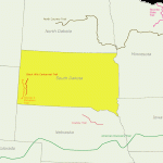
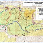
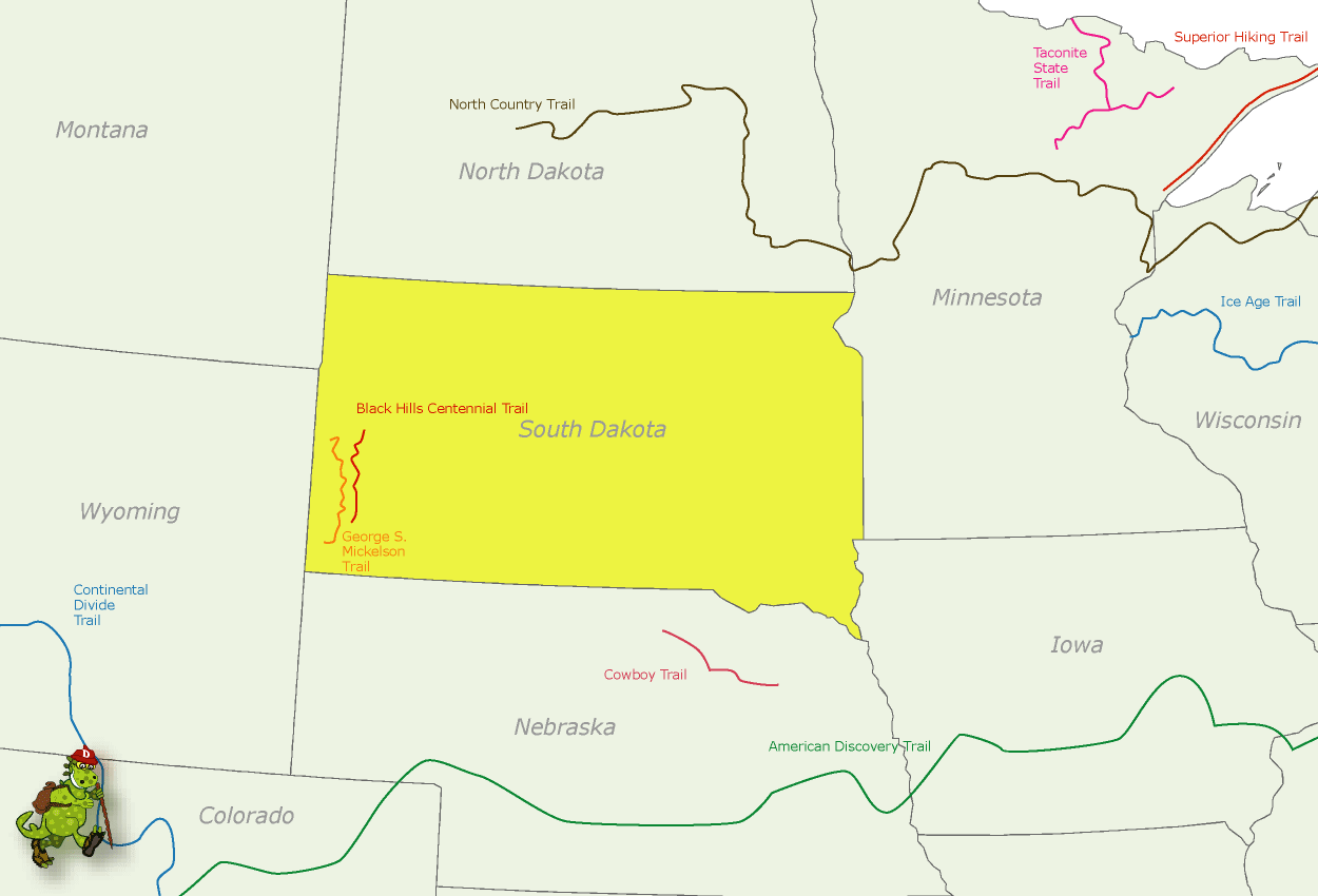
This fine trail was opened in 1989. It runs in a north-south direction through western South Dakota, leading from Bear Butte State Park to Wind Cave National Park. Scenery and vegetation along the way are quite varied.
Over half of the trail is on Black Hills National Forest lands, with other segments in Wind Cave National Park, Custer State Park, Bear Butte State Park, and the Fort Meade Recreation Area, which is administered by the Bureau of Land Management.
Difficulty ranges from easy to moderate. Horseback riding is permitted along the trail outside of Wind Cave National Park. Mountain biking is likewise allowed except in Wind Cave National Park and the Black Elk Wilderness of Black Hills National Forest.
Camping Regulations: Camping is allowed almost anywhere along the trail on National Forest lands, except where posted otherwise. A permit is required for Wind Cave National Park, and in Custer State Park camping is restricted to designated sites.
Trailside camping is not allowed in Bear Butte State Park or the Fort Meade Recreation Area. Campfires are permitted only at designated camping areas or in established campgrounds.
For Further Information: South Dakota Department of Game, Fish, and Parks, HC 83, Box 70, Custer, SD 57730; (605)255-4515.
SOUTH DAKOTA CAMPING RESOURCES
INFORMATION ABOUT STATE PARK CAMPGROUNDS South Dakota Department of Game, Fish, and Parks, 445 E. Capitol Avenue, Pierre, SD 57501; (605)773-3391.
STATE HIGHWAY MAP AND TRAVEL INFORMATION South Dakota Division of Tourism, 711 Wells Avenue, Pierre, SD 57501; (800)843-1930 (out of state)/(800)952-2217 (in state).
CENTENNIAL TRAIL MAP SOUTH DAKOTA Photo Gallery
Maybe You Like Them Too
- Arnold A Town with a Heart
- The Best Cities To Visit in The World
- World’s 10 Best Places To Visit
- Map of New York City – New York City Guide And Statistics
- Map of San Francisco – San Francisco Map Free

