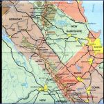
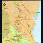
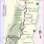
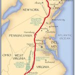
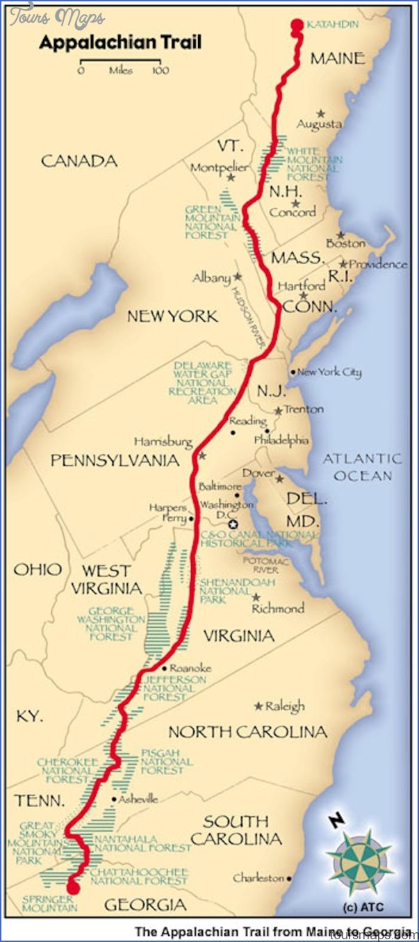
APPALACHIAN TRAIL MAP VERMONT
This famous trail coincides with the Long Trail (previous entry) for 98 miles, from the Massachusetts border to Sherburne Pass, where the Appalachian Trail turns east and heads toward New Hampshire.
The trail crosses the southern unit of Green Mountain National Forest, as well as state-owned areas and private lands. It traverses a number of mountains over 3,000 feet, some of which offer fine views, and passes several beautiful mountain ponds. Difficulty varies from easy to strenuous.
Camping Regulations: Trail shelters and designated camping areas are found every few miles along the trail. At several locations there’s a caretaker on duty and a small camping fee is collected. Where the trail is on private or state lands, camping is restricted to established sites.
On National Forest lands camping is allowed almost anywhere, except in a few areas where authorized sites must be used. When choosing nondesignated sites, campsites should normally be at least 100 feet from water sources and 50 feet from the trail.
Campfires are permitted at most established sites, and are allowed in much of the National Forest, but they’re prohibited in a few locations. A stove is recommended for cooking.
For Further Information: Appalachian Trail Conference, P.O. Box 807, Harpers Ferry, WV 25425.
VERMONT CAMPING RESOURCES
USEFUL GUIDEBOOKS
AMC River Guide: New Hampshire and VermontBoston: Appalachian Mountain Club, 1983.
Appalachian Trail Guide to New Hampshire-Ver-montHarpers Ferry, WV: The Appalachian Trail Conference, 1989.
Canoe-Camping Vermont S’ New Hampshire RiversSchweiker, Roioli. Woodstock, VT: Back-country Publications.
Fifty Hikes in VermontSadlier, Heather and Hugh. Woodstock, VT: Backcountry Publications, 1985.
Guidebook of the Long TrailMontpelier, VT: The Green Mountain Club, 1990.
The Sierra Club Guide to the Natural Areas of New EnglandPerry, John and Jane. San Francisco: Sierra Club Books, 1990.
25 Mountain Bike Tours in VermontBusha, William J. Woodstock, VT: Backcountry Publications.
25 Ski Tours in VermontWass, Stan. Woodstock, VT: Backcountry Publications.
Vermont Mountain BikingMansfield, Dick. Woodstock, VT: Backcountry Publications.
INFORMATION ABOUT STATE PARK AND FOREST
CAMPGROUNDS
Vermont Department of Forests, Parks, and Recreation, 103 South Main Street, Waterbury, VT 05676; (802)828-3375.
STATE HIGHWAY MAP AND TRAVEL INFORMATION
Vermont Travel Division, 134 State Street, Montpelier, VT 05602; (802)828-3236.
APPALACHIAN TRAIL MAP VERMONT Photo Gallery
Maybe You Like Them Too
- Arnold A Town with a Heart
- The Best Cities To Visit in The World
- World’s 10 Best Places To Visit
- Map of New York City – New York City Guide And Statistics
- Map of San Francisco – San Francisco Map Free


