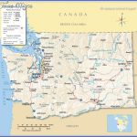
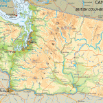
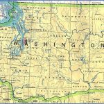
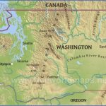
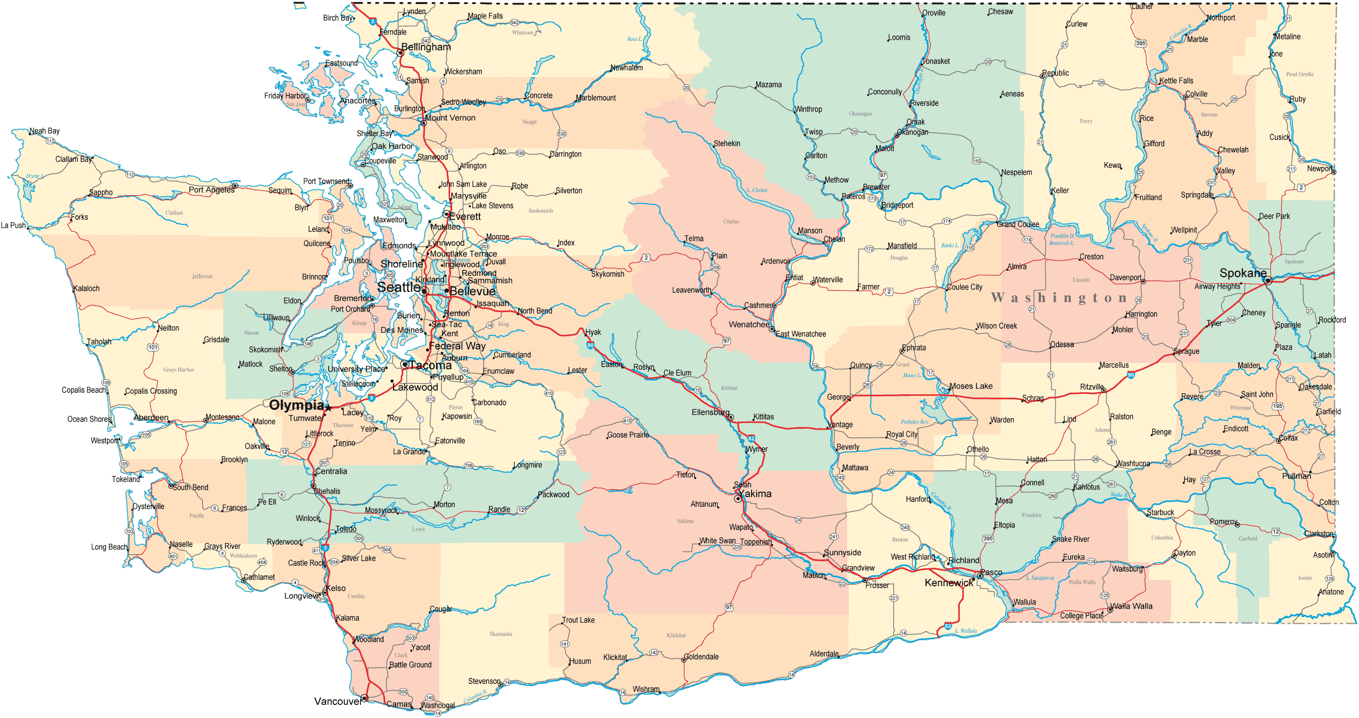
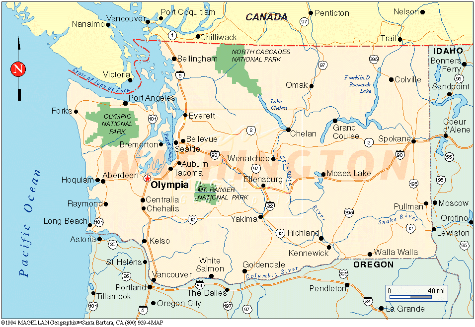
Washington Map
OKANOGAN NATIONAL FOREST
1,706,000 acres. Okanogan National Forest consists of tracts in north-central and northeast Washington, including lands in the eastern Cascades near North Cascades National Park. Some of the terrain here is rugged, with steep jagged peaks. Highest elevation is 8,974-foot North Gardner Mountain.
There are also deep gorges, creeks with waterfalls, and lakes, along with grasslands and alpine vegetation. Much of the region is forested with Douglas fir and ponderosa pine, including old-growth stands. Among the wildlife are mule deer, black bear, moose, coyote, mountain lion, and bobcat.
This National Forest has two designated wilderness areas: the 530,031-acre Pasayten Wilderness and 95,976 acres of the 146,000-acre Lake Che-lan-Sawtooth Wilderness.
Activities: More than 1,550 miles of trails are available for hiking and backpacking, including a 63-mile segment of the Pacific Crest Trail (see entry page 294). Difficulty varies from easy to strenuous. Many of the trails are open to horses.
Mountain biking is allowed on some trails outside of wilderness areas. Cross-country skiing is
possible here during winter. Mountaineering is another option. Fishing is available along lakes and streams, and hunting is permitted in season.
Camping Regulations: Camping is freely allowed throughout most of the National Forest, except near public recreation areas or where otherwise prohibited. No permits are necessary at the present time. Campfires may be built, but a stove is recommended.
Group size in wilderness areas is limited to 12. Campsites should be at least 200 feet from water sources and trails, and 500 feet from other campers. Visitors are asked to use preexisting sites whenever possible, and to camp away from meadows and lakes at higher elevations.
For Further Information: Okanogan National Forest, 1240 South Second, P.O. Box 950, Okanogan, WA 98840; (509)422-2704.
Washington Map Photo Gallery
Maybe You Like Them Too
- Arnold A Town with a Heart
- The Best Cities To Visit in The World
- World’s 10 Best Places To Visit
- Map of New York City – New York City Guide And Statistics
- Map of San Francisco – San Francisco Map Free

